Area Overview for CR2 8EH
Photos of CR2 8EH
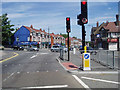
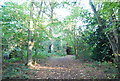
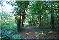
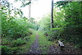
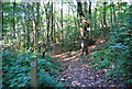
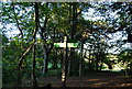

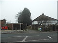
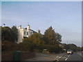
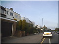
61 photos from this area
Area Information
Key information about the CR2 8EH including its size, population, and administrative classification.
- Area Type
- Postcode
- Area Size
- 4147 m²
- Population
- Not available
- Population Density
- Not available
House Prices in CR2 8EH
10
Properties
£312,707
Average Sold Price
£79,950
Lowest Price
£485,000
Highest Price
Showing 10 properties
| Address | Type | Beds | Baths | Last Sale Price | Last Sale Date | |
|---|---|---|---|---|---|---|
| 3 Foxearth Road, South Croydon, CR2 8EH | Semi-detached | 3 | - | £420,000 | Sep 2019 | |
| 7 Foxearth Road, South Croydon, CR2 8EH | Semi-detached | 3 | - | £465,000 | Jan 2019 | |
| 1 Foxearth Road, South Croydon, CR2 8EH | Semi-detached | 3 | - | £385,000 | Jun 2015 | |
| 15 Foxearth Road, South Croydon, CR2 8EH | Semi-detached | 4 | - | £485,000 | Oct 2014 | |
| 19 Foxearth Road, South Croydon, CR2 8EH | Terraced | - | - | £187,000 | May 2002 | |
| 9 Foxearth Road, South Croydon, CR2 8EH | house | - | - | £167,000 | Dec 1999 | |
| 11 Foxearth Road, South Croydon, CR2 8EH | Semi-detached | 4 | 2 | £79,950 | Feb 1997 | |
| 13 Foxearth Road, South Croydon, CR2 8EH | Terraced | - | - | - | - | |
| 17 Foxearth Road, South Croydon, CR2 8EH | Terraced | - | - | - | - | |
| 5 Foxearth Road, South Croydon, CR2 8EH | house | - | - | - | - |
Energy Efficiency in CR2 8EH
Amenities
Schools
| Rank | School | Type | Entry gender | Ages |
|---|
Explore more schools in this area
Go to Schools tabDemographics
Household Size
Family (3-5 people)
most common
Accommodation Type
Houses
most common
Tenure
80
majority
Ethnic Group
White
most common
Religion
N/A
most common
Household Composition
N/A
most common
Age
47
median
Adults (30-64 years)
most common
Household Deprivation
N/A
with no deprivation
NS-SEC
40
in Lower managerial occupations
Explore more demographic insights in this area
Go to Demographics tabPlanning
Planning Constraints
- Flood RiskPremium
- Ramsar Wetland SitesPremium
- Area of Outstanding Natural BeautyPremium
- Protected Nature ReservePremium
- Protected WoodlandPremium