Area Overview for CR2 8BN
Photos of CR2 8BN
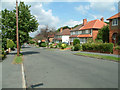
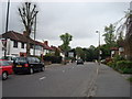
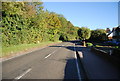
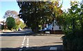
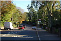
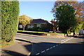
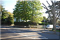
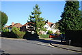
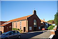
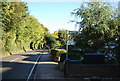
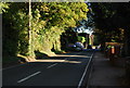
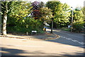
63 photos from this area
Area Information
Key information about the CR2 8BN including its size, population, and administrative classification.
- Area Type
- Postcode
- Area Size
- 1.3 hectares
- Population
- 1566
- Population Density
- 2607 people/km²
House Prices in CR2 8BN
21
Properties
£493,204
Average Sold Price
£167,500
Lowest Price
£1,200,000
Highest Price
Showing 21 properties
| Address | Type | Beds | Baths | Last Sale Price | Last Sale Date | |
|---|---|---|---|---|---|---|
| 30 Norfolk Avenue, South Croydon, CR2 8BN | Semi-detached | 3 | 1 | £693,700 | Jan 2025 | |
| 42 Norfolk Avenue, South Croydon, CR2 8BN | Detached | 5 | 2 | £1,200,000 | May 2024 | |
| 8 Norfolk Avenue, South Croydon, CR2 8BN | Semi-detached | 4 | 1 | £510,000 | Sep 2023 | |
| 24 Norfolk Avenue, South Croydon, CR2 8BN | house | - | - | £725,000 | Jun 2021 | |
| 14 Norfolk Avenue, South Croydon, CR2 8BN | house | - | - | £630,000 | Aug 2017 | |
| 34 Norfolk Avenue, South Croydon, CR2 8BN | Semi-detached | 4 | 2 | £550,000 | Feb 2015 | |
| 22 Norfolk Avenue, South Croydon, CR2 8BN | Semi-detached | 3 | 1 | £400,000 | Oct 2013 | |
| 2 Norfolk Avenue, South Croydon, CR2 8BN | Detached | 3 | 1 | £410,000 | Jan 2010 | |
| 16 Norfolk Avenue, South Croydon, CR2 8BN | house | - | - | £380,500 | Aug 2009 | |
| 20 Norfolk Avenue, South Croydon, CR2 8BN | Semi-detached | - | - | £295,000 | Aug 2002 |
Page 1 of 3
Energy Efficiency in CR2 8BN
Amenities
Schools
| Rank | School | Type | Entry gender | Ages |
|---|
Explore more schools in this area
Go to Schools tabDemographics
Household Size
Family (3-5 people)
most common
Accommodation Type
Houses
most common
Tenure
93
majority
Ethnic Group
White
most common
Religion
N/A
most common
Household Composition
N/A
most common
Age
47
median
Adults (30-64 years)
most common
Household Deprivation
N/A
with no deprivation
NS-SEC
48
in Lower managerial occupations
Explore more demographic insights in this area
Go to Demographics tabPlanning
Planning Constraints
- Flood RiskPremium
- Ramsar Wetland SitesPremium
- Area of Outstanding Natural BeautyPremium
- Protected Nature ReservePremium
- Protected WoodlandPremium