Area Overview for CR2 7LR
Photos of CR2 7LR
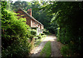
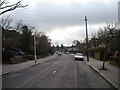
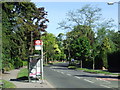
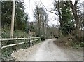
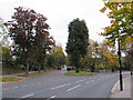
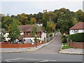

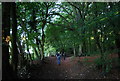
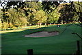
30 photos from this area
Area Information
Key information about the CR2 7LR including its size, population, and administrative classification.
- Area Type
- Postcode
- Area Size
- 9902 m²
- Population
- Not available
- Population Density
- Not available
House Prices in CR2 7LR
16
Properties
£454,978
Average Sold Price
£125,000
Lowest Price
£640,000
Highest Price
Showing 16 properties
| Address | Type | Beds | Baths | Last Sale Price | Last Sale Date | |
|---|---|---|---|---|---|---|
| 42 The Ruffetts, South Croydon, CR2 7LR | Detached | 4 | 1 | £620,000 | Dec 2024 | |
| 40 The Ruffetts, South Croydon, CR2 7LR | Detached | 3 | 1 | £594,000 | Nov 2024 | |
| 38 The Ruffetts, South Croydon, CR2 7LR | Detached | 4 | 1 | £640,000 | Apr 2024 | |
| 62 The Ruffetts, South Croydon, CR2 7LR | house | - | - | £617,500 | Jan 2020 | |
| 32 The Ruffetts, South Croydon, CR2 7LR | Detached | 3 | 1 | £517,235 | Feb 2015 | |
| 56 The Ruffetts, South Croydon, CR2 7LR | house | 3 | - | £495,000 | Sep 2014 | |
| 54 The Ruffetts, South Croydon, CR2 7LR | Detached | 5 | - | £450,000 | Nov 2013 | |
| 52 The Ruffetts, South Croydon, CR2 7LR | house | - | - | £355,000 | Sep 2009 | |
| 46 The Ruffetts, South Croydon, CR2 7LR | Detached | 4 | 2 | £385,000 | Jul 2006 | |
| 58 The Ruffetts, South Croydon, CR2 7LR | Detached | - | - | £320,000 | Dec 2003 |
Page 1 of 2
Energy Efficiency in CR2 7LR
Amenities
Schools
| Rank | School | Type | Entry gender | Ages |
|---|
Explore more schools in this area
Go to Schools tabDemographics
Household Size
Family (3-5 people)
most common
Accommodation Type
Houses
most common
Tenure
91
majority
Ethnic Group
White
most common
Religion
N/A
most common
Household Composition
N/A
most common
Age
47
median
Adults (30-64 years)
most common
Household Deprivation
N/A
with no deprivation
NS-SEC
44
in Lower managerial occupations
Explore more demographic insights in this area
Go to Demographics tabPlanning
Planning Constraints
- Flood RiskPremium
- Ramsar Wetland SitesPremium
- Area of Outstanding Natural BeautyPremium
- Protected Nature ReservePremium
- Protected WoodlandPremium