Area Overview for CR2 7BJ
Photos of CR2 7BJ
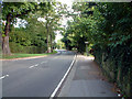
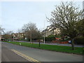
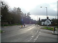
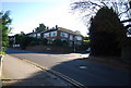
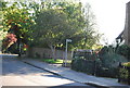
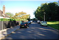
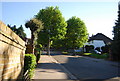
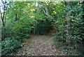
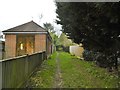
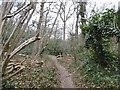
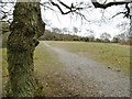
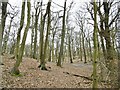
52 photos from this area
Area Information
Key information about the CR2 7BJ including its size, population, and administrative classification.
- Area Type
- Postcode
- Area Size
- 1.9 hectares
- Population
- 1621
- Population Density
- 1915 people/km²
House Prices in CR2 7BJ
16
Properties
£650,083
Average Sold Price
£220,000
Lowest Price
£1,100,000
Highest Price
Showing 16 properties
| Address | Type | Beds | Baths | Last Sale Price | Last Sale Date | |
|---|---|---|---|---|---|---|
| 33 Croham Manor Road, South Croydon, CR2 7BJ | Detached | 5 | 2 | £1,100,000 | Apr 2018 | |
| 37 Croham Manor Road, South Croydon, CR2 7BJ | Detached | 5 | 3 | £1,050,000 | Mar 2018 | |
| 41 Croham Manor Road, South Croydon, CR2 7BJ | Detached | 4 | 2 | £765,000 | Oct 2014 | |
| 27 Croham Manor Road, South Croydon, CR2 7BJ | Detached | 4 | 2 | £740,000 | Aug 2014 | |
| 51 Croham Manor Road, South Croydon, CR2 7BJ | house | - | - | £746,000 | Nov 2012 | |
| 49 Croham Manor Road, South Croydon, CR2 7BJ | house | 4 | - | £625,000 | Mar 2010 | |
| 55 Croham Manor Road, South Croydon, CR2 7BJ | house | - | - | £570,000 | Aug 2009 | |
| 39 Croham Manor Road, South Croydon, CR2 7BJ | Detached | - | - | £600,000 | Mar 2007 | |
| 45 Croham Manor Road, South Croydon, CR2 7BJ | Semi-detached | - | - | £650,000 | Apr 2006 | |
| 43 Croham Manor Road, South Croydon, CR2 7BJ | house | 5 | - | £400,000 | Feb 2000 |
Page 1 of 2
Energy Efficiency in CR2 7BJ
Amenities
Schools
| Rank | School | Type | Entry gender | Ages |
|---|
Explore more schools in this area
Go to Schools tabDemographics
Household Size
Two person
most common
Accommodation Type
Houses
most common
Tenure
75
majority
Ethnic Group
White
most common
Religion
N/A
most common
Household Composition
N/A
most common
Age
47
median
Adults (30-64 years)
most common
Household Deprivation
N/A
with no deprivation
NS-SEC
53
in Lower managerial occupations
Explore more demographic insights in this area
Go to Demographics tabPlanning
Planning Constraints
- Flood RiskPremium
- Ramsar Wetland SitesPremium
- Area of Outstanding Natural BeautyPremium
- Protected Nature ReservePremium
- Protected WoodlandPremium