Area Overview for CR2 7AL
Photos of CR2 7AL
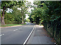
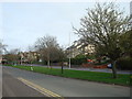
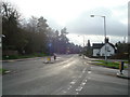
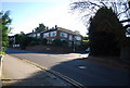
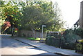
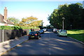
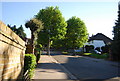
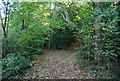
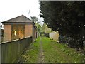
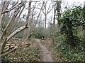
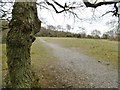
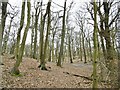
52 photos from this area
Area Information
Key information about the CR2 7AL including its size, population, and administrative classification.
- Area Type
- Postcode
- Area Size
- 1.6 hectares
- Population
- 1903
- Population Density
- 9398 people/km²
House Prices in CR2 7AL
80
Properties
£492,000
Average Sold Price
£280,000
Lowest Price
£625,000
Highest Price
Showing 80 properties
| Address | Type | Beds | Baths | Last Sale Price | Last Sale Date | |
|---|---|---|---|---|---|---|
| 8A Harewood Road, South Croydon, CR2 7AL | Detached | 4 | 2 | £625,000 | Sep 2024 | |
| 3, Camrose Court, 3 Harewood Road, South Croydon, CR2 7AL | Flat | 2 | - | £310,000 | Jun 2024 | |
| Maple House, 7A Harewood Road, South Croydon, CR2 7AL | Terraced | 3 | - | £596,000 | Jul 2020 | |
| Willow House, 7B Harewood Road, South Croydon, CR2 7AL | Terraced | 3 | 3 | £585,000 | Mar 2020 | |
| Hazel House, 7D Harewood Road, South Croydon, CR2 7AL | Terraced | 3 | 3 | £600,000 | Mar 2020 | |
| Oak House, 7C Harewood Road, South Croydon, CR2 7AL | Terraced | 3 | 3 | £600,000 | Mar 2020 | |
| 5A Harewood Road, South Croydon, CR2 7AL | Maisonette | - | - | £280,000 | Aug 2017 | |
| 4B Harewood Road, South Croydon, CR2 7AL | Detached | 5 | 3 | £340,000 | May 2001 | |
| 2C Harewood Road, South Croydon, CR2 7AL | Detached | 4 | 2 | - | - | |
| 4A Harewood Road, South Croydon, CR2 7AL | Detached | 3 | 2 | - | - |
Page 1 of 8
Energy Efficiency in CR2 7AL
Amenities
Schools
| Rank | School | Type | Entry gender | Ages |
|---|
Explore more schools in this area
Go to Schools tabDemographics
Household Size
One person
most common
Accommodation Type
Flats
most common
Tenure
44
majority
Ethnic Group
White
most common
Religion
N/A
most common
Household Composition
N/A
most common
Age
47
median
Adults (30-64 years)
most common
Household Deprivation
N/A
with no deprivation
NS-SEC
44
in Lower managerial occupations
Explore more demographic insights in this area
Go to Demographics tabPlanning
Planning Constraints
- Flood RiskPremium
- Ramsar Wetland SitesPremium
- Area of Outstanding Natural BeautyPremium
- Protected Nature ReservePremium
- Protected WoodlandPremium