Area Overview for CR2 6JE
Photos of CR2 6JE
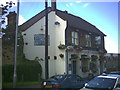
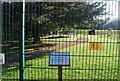
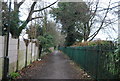
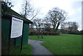
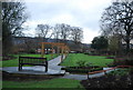
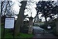
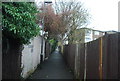
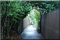
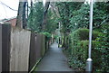
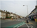
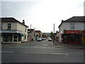
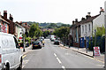
91 photos from this area
Area Information
Key information about the CR2 6JE including its size, population, and administrative classification.
- Area Type
- Postcode
- Area Size
- 1.6 hectares
- Population
- 1730
- Population Density
- 8653 people/km²
House Prices in CR2 6JE
100
Properties
£292,371
Average Sold Price
£103,000
Lowest Price
£600,000
Highest Price
Showing 100 properties
| Address | Type | Beds | Baths | Last Sale Price | Last Sale Date | |
|---|---|---|---|---|---|---|
| 3 Avondale Road, South Croydon, CR2 6JE | Semi-detached | 2 | 1 | £515,000 | Dec 2025 | |
| 21 Avondale Road, South Croydon, CR2 6JE | Semi-detached | 3 | 2 | £600,000 | Apr 2025 | |
| 9 Avondale Road, South Croydon, CR2 6JE | Terraced | 4 | 1 | £590,000 | Jun 2024 | |
| 59A Avondale Road, South Croydon, CR2 6JE | Flat | 1 | 1 | £200,000 | Feb 2024 | |
| 23 Avondale Road, South Croydon, CR2 6JE | Semi-detached | 3 | 2 | £492,500 | Jul 2021 | |
| 71A Avondale Road, South Croydon, CR2 6JE | Flat | 1 | 1 | £260,000 | Jun 2021 | |
| 57A Avondale Road, South Croydon, CR2 6JE | Flat | - | - | £302,310 | Jul 2019 | |
| 15A Avondale Road, South Croydon, CR2 6JE | Flat | 2 | 1 | £157,500 | Dec 2011 | |
| 5 Avondale Road, South Croydon, CR2 6JE | house | - | - | £295,000 | Aug 2010 | |
| 35 Avondale Road, South Croydon, CR2 6JE | Semi-detached | 2 | 2 | £340,000 | Jan 2009 |
Page 1 of 10
Energy Efficiency in CR2 6JE
Amenities
Schools
| Rank | School | Type | Entry gender | Ages |
|---|
Explore more schools in this area
Go to Schools tabDemographics
Household Size
One person
most common
Accommodation Type
Flats
most common
Tenure
46
majority
Ethnic Group
White
most common
Religion
N/A
most common
Household Composition
N/A
most common
Age
47
median
Adults (30-64 years)
most common
Household Deprivation
N/A
with no deprivation
NS-SEC
38
in Lower managerial occupations
Explore more demographic insights in this area
Go to Demographics tabPlanning
Planning Constraints
- Flood RiskPremium
- Ramsar Wetland SitesPremium
- Area of Outstanding Natural BeautyPremium
- Protected Nature ReservePremium
- Protected WoodlandPremium