Area Overview for CR2 0SN
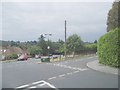
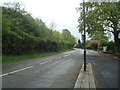
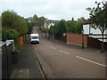
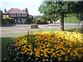
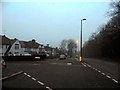
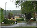
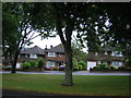
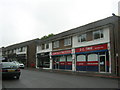
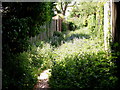
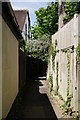
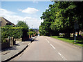
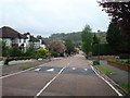
Photos of CR2 0SN
Area Information
Living in CR2 0SN offers a blend of historical significance and modern convenience within a small, tightly knit residential cluster in South London. With a population of 1,556, the area is characterised by a mature community, where the median age of 47 reflects a predominance of adults aged 30–64. This postcode falls within the London Borough of Croydon, a region with a rich heritage, including All Saints Church, a Grade 1 listed building with medieval roots. The area’s compact size means residents enjoy a strong sense of local identity, supported by proximity to retail hubs like Tesco Sanderstead and Sainsburys Croydon. Daily life is shaped by easy access to rail and tram networks, including Sanderstead and Purley Oaks stations, which link to wider London. The low crime risk and excellent broadband connectivity (97/100) make it appealing for those prioritising safety and digital reliability. While the area has undergone boundary changes since 2018, its historical and practical foundations remain intact, offering a stable, family-oriented environment with minimal environmental constraints.
- Area Type
- Postcode
- Area Size
- Not available
- Population
- Not available
- Population Density
- Not available
The property market in CR2 0SN is dominated by owner-occupied homes, with 90% of properties owned by residents rather than rented. This suggests a stable, long-term housing stock, primarily composed of houses rather than flats or apartments. The focus on single-family homes indicates a market suited to families or individuals seeking space and privacy. Given the area’s small size, the housing stock is limited, which may mean competition for available properties. Buyers should consider the proximity to key amenities, including multiple rail and tram links, which enhance the area’s appeal. The lack of rental properties implies a community where residents are likely to remain for extended periods, contributing to a consistent local character. However, the limited size of CR2 0SN means that property availability is constrained, and buyers may need to look beyond immediate surroundings for broader options.
House Prices in CR2 0SN
No properties found in this postcode.
Energy Efficiency in CR2 0SN
CR2 0SN’s lifestyle is defined by its proximity to essential amenities and historical landmarks. Residents have access to five retail outlets, including Tesco Sanderstead and Sainsburys Croydon, ensuring everyday shopping needs are met locally. The area’s rail and tram links, such as Riddlesdown and Coombe Lane Tram Stop, provide easy access to nearby towns and London’s transport network. All Saints Church, a Grade 1 listed site, adds cultural and historical value, with its churchyard offering a peaceful space for reflection. While the area lacks large leisure facilities, its compact size fosters a community-oriented atmosphere. The presence of multiple transport options and retail hubs supports a convenient, low-stress lifestyle, ideal for those seeking a balance between urban accessibility and suburban tranquillity.
Amenities
Schools
| Rank | School | Type | Entry gender | Ages |
|---|
Explore more schools in this area
Go to Schools tabDemographics
CR2 0SN is a community of 1,556 residents, predominantly adults aged 30–64, with a median age of 47. This suggests a mature, settled population, likely with established careers and family ties. Home ownership is high at 90%, indicating a strong preference for long-term residency over renting. The area is composed entirely of houses, not flats, which aligns with the typical household structure of owner-occupied properties. The predominant ethnic group is White, reflecting a homogenous demographic profile. While this data does not specify deprivation levels, the high home ownership and low crime risk (94/100) imply a stable quality of life. The absence of significant diversity data means the community’s social fabric is largely defined by its age and housing characteristics. The area’s small size and historical roots contribute to a cohesive, low-density residential environment where neighbours are likely to know each other.
Household Size
Accommodation Type
Tenure
Ethnic Group
Religion
Household Composition
Age
Household Deprivation
NS-SEC
Explore more demographic insights in this area
Go to Demographics tabPlanning
Planning Constraints
- Flood RiskPremium
- Ramsar Wetland SitesPremium
- Area of Outstanding Natural BeautyPremium
- Protected Nature ReservePremium
- Protected WoodlandPremium