Area Overview for CR2 0QE
Photos of CR2 0QE
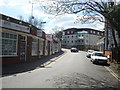
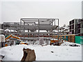
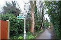
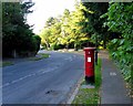
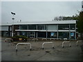
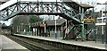
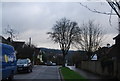
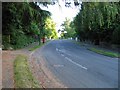
88 photos from this area
Area Information
Key information about the CR2 0QE including its size, population, and administrative classification.
- Area Type
- Postcode
- Area Size
- 2.5 hectares
- Population
- Not available
- Population Density
- Not available
House Prices in CR2 0QE
40
Properties
£366,431
Average Sold Price
£82,500
Lowest Price
£640,000
Highest Price
Showing 40 properties
| Address | Type | Beds | Baths | Last Sale Price | Last Sale Date | |
|---|---|---|---|---|---|---|
| 58 Norman Avenue, South Croydon, CR2 0QE | Semi-detached | 3 | 1 | £535,000 | Mar 2025 | |
| 76 Norman Avenue, South Croydon, CR2 0QE | Semi-detached | 3 | 1 | £592,000 | Feb 2025 | |
| 24 Norman Avenue, South Croydon, CR2 0QE | Semi-detached | 3 | 1 | £229,500 | Feb 2025 | |
| 44 Norman Avenue, South Croydon, CR2 0QE | house | 4 | - | £637,000 | Nov 2024 | |
| 46 Norman Avenue, South Croydon, CR2 0QE | Semi-detached | 4 | 2 | £615,000 | Oct 2023 | |
| 14 Norman Avenue, South Croydon, CR2 0QE | house | - | - | £585,000 | Dec 2022 | |
| 34 Norman Avenue, South Croydon, CR2 0QE | house | 4 | 2 | £640,000 | Aug 2022 | |
| 52 Norman Avenue, South Croydon, CR2 0QE | Retail | 3 | 1 | £550,000 | Mar 2022 | |
| 42 Norman Avenue, South Croydon, CR2 0QE | Semi-detached | 5 | 3 | £510,000 | Jun 2021 | |
| 74 Norman Avenue, South Croydon, CR2 0QE | house | - | - | £580,000 | Jun 2021 |
Page 1 of 4
Energy Efficiency in CR2 0QE
Amenities
Schools
| Rank | School | Type | Entry gender | Ages |
|---|
Explore more schools in this area
Go to Schools tabDemographics
Household Size
Family (3-5 people)
most common
Accommodation Type
Houses
most common
Tenure
71
majority
Ethnic Group
White
most common
Religion
N/A
most common
Household Composition
N/A
most common
Age
47
median
Adults (30-64 years)
most common
Household Deprivation
N/A
with no deprivation
NS-SEC
49
in Lower managerial occupations
Explore more demographic insights in this area
Go to Demographics tabPlanning
Planning Constraints
- Flood RiskPremium
- Ramsar Wetland SitesPremium
- Area of Outstanding Natural BeautyPremium
- Protected Nature ReservePremium
- Protected WoodlandPremium