Area Overview for CR2 0PZ
Photos of CR2 0PZ
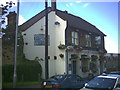
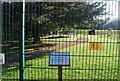
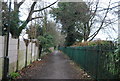
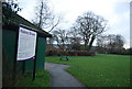
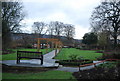
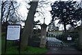
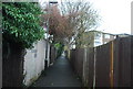
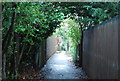
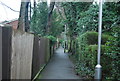
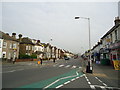
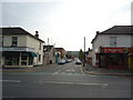
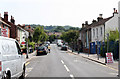
91 photos from this area
Area Information
Key information about the CR2 0PZ including its size, population, and administrative classification.
- Area Type
- Postcode
- Area Size
- 8463 m²
- Population
- 1612
- Population Density
- 5390 people/km²
House Prices in CR2 0PZ
40
Properties
£256,966
Average Sold Price
£69,950
Lowest Price
£420,000
Highest Price
Showing 40 properties
| Address | Type | Beds | Baths | Last Sale Price | Last Sale Date | |
|---|---|---|---|---|---|---|
| 127 Bynes Road, South Croydon, CR2 0PZ | Terraced | 2 | 1 | £380,000 | Mar 2025 | |
| 101 Bynes Road, South Croydon, CR2 0PZ | Semi-detached | 2 | 1 | £390,000 | Jan 2025 | |
| 129 Bynes Road, South Croydon, CR2 0PZ | Terraced | 2 | 1 | £420,000 | Jan 2023 | |
| 85 Bynes Road, South Croydon, CR2 0PZ | Terraced | 2 | 1 | £408,000 | Oct 2022 | |
| 65 Bynes Road, South Croydon, CR2 0PZ | Terraced | 2 | 1 | £348,500 | Jun 2021 | |
| 55 Bynes Road, South Croydon, CR2 0PZ | Terraced | 2 | 1 | £312,000 | Jan 2021 | |
| 109 Bynes Road, South Croydon, CR2 0PZ | Terraced | 2 | 1 | £350,000 | Mar 2020 | |
| 83 Bynes Road, South Croydon, CR2 0PZ | house | - | - | £355,000 | Jan 2020 | |
| 103 Bynes Road, South Croydon, CR2 0PZ | Terraced | 2 | 1 | £320,000 | Apr 2019 | |
| 95 Bynes Road, South Croydon, CR2 0PZ | Terraced | 2 | 1 | £302,500 | Dec 2018 |
Page 1 of 4
Energy Efficiency in CR2 0PZ
Amenities
Schools
| Rank | School | Type | Entry gender | Ages |
|---|
Explore more schools in this area
Go to Schools tabDemographics
Household Size
Family (3-5 people)
most common
Accommodation Type
Houses
most common
Tenure
60
majority
Ethnic Group
White
most common
Religion
N/A
most common
Household Composition
N/A
most common
Age
47
median
Adults (30-64 years)
most common
Household Deprivation
N/A
with no deprivation
NS-SEC
46
in Lower managerial occupations
Explore more demographic insights in this area
Go to Demographics tabPlanning
Planning Constraints
- Flood RiskPremium
- Ramsar Wetland SitesPremium
- Area of Outstanding Natural BeautyPremium
- Protected Nature ReservePremium
- Protected WoodlandPremium