Area Overview for CR2 0LA
Photos of CR2 0LA
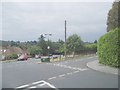
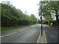
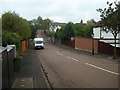
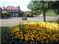
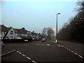
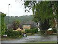
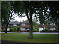
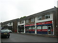
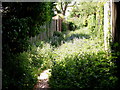
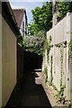
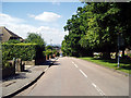
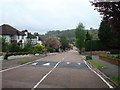
24 photos from this area
Area Information
Key information about the CR2 0LA including its size, population, and administrative classification.
- Area Type
- Postcode
- Area Size
- 3.2 hectares
- Population
- Not available
- Population Density
- Not available
House Prices in CR2 0LA
22
Properties
£877,277
Average Sold Price
£447,000
Lowest Price
£1,450,000
Highest Price
Showing 22 properties
| Address | Type | Beds | Baths | Last Sale Price | Last Sale Date | |
|---|---|---|---|---|---|---|
| Donkey Down, Hook Hill, South Croydon, CR2 0LA | Bungalow | 4 | 2 | £1,100,000 | May 2024 | |
| 6 Hook Hill, South Croydon, CR2 0LA | Retail | 5 | 2 | £1,370,000 | Jul 2022 | |
| White Ladies, Hook Hill, South Croydon, CR2 0LA | house | 5 | 4 | £1,450,000 | Apr 2022 | |
| High Bank, Hook Hill, South Croydon, CR2 0LA | Bungalow | - | - | £775,500 | Dec 2020 | |
| Holmwell, Hook Hill, South Croydon, CR2 0LA | Bungalow | 3 | 2 | £675,000 | Jul 2020 | |
| 14 Hook Hill, South Croydon, CR2 0LA | Detached | 7 | 2 | £1,130,000 | Aug 2019 | |
| Old Court, Hook Hill, South Croydon, CR2 0LA | Detached | 5 | 3 | £750,000 | Nov 2014 | |
| Hayseeds, Hook Hill, South Croydon, CR2 0LA | house | - | - | £880,000 | Mar 2009 | |
| 20 Hook Hill, South Croydon, CR2 0LA | Detached | 4 | 3 | £530,000 | Jul 2008 | |
| 10 Hook Hill, South Croydon, CR2 0LA | Detached | - | - | £845,000 | Aug 2007 |
Page 1 of 3
Energy Efficiency in CR2 0LA
Amenities
Schools
| Rank | School | Type | Entry gender | Ages |
|---|
Explore more schools in this area
Go to Schools tabDemographics
Household Size
Two person
most common
Accommodation Type
Houses
most common
Tenure
81
majority
Ethnic Group
White
most common
Religion
N/A
most common
Household Composition
N/A
most common
Age
47
median
Adults (30-64 years)
most common
Household Deprivation
N/A
with no deprivation
NS-SEC
53
in Lower managerial occupations
Explore more demographic insights in this area
Go to Demographics tabPlanning
Planning Constraints
- Flood RiskPremium
- Ramsar Wetland SitesPremium
- Area of Outstanding Natural BeautyPremium
- Protected Nature ReservePremium
- Protected WoodlandPremium