Area Overview for CR2 0BW
Photos of CR2 0BW
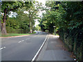
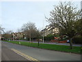
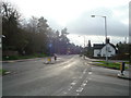
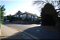
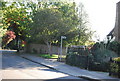
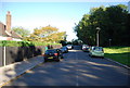
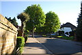
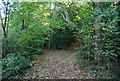
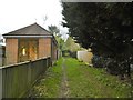
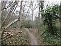
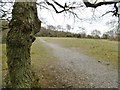
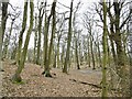
52 photos from this area
Area Information
Key information about the CR2 0BW including its size, population, and administrative classification.
- Area Type
- Postcode
- Area Size
- 2.0 hectares
- Population
- 1569
- Population Density
- 3399 people/km²
House Prices in CR2 0BW
27
Properties
£457,127
Average Sold Price
£157,000
Lowest Price
£750,000
Highest Price
Showing 27 properties
| Address | Type | Beds | Baths | Last Sale Price | Last Sale Date | |
|---|---|---|---|---|---|---|
| 53 Essenden Road, South Croydon, CR2 0BW | house | 3 | - | £700,000 | Jun 2025 | |
| 19 Essenden Road, South Croydon, CR2 0BW | house | - | - | £750,000 | Jun 2016 | |
| 49 Essenden Road, South Croydon, CR2 0BW | Semi-detached | 5 | - | £542,500 | Mar 2015 | |
| 57 Essenden Road, South Croydon, CR2 0BW | Semi-detached | 4 | 2 | £475,000 | Aug 2014 | |
| 61 Essenden Road, South Croydon, CR2 0BW | Detached | 4 | 3 | £540,000 | Feb 2014 | |
| 47 Essenden Road, South Croydon, CR2 0BW | house | - | - | £470,000 | Jun 2013 | |
| 51 Essenden Road, South Croydon, CR2 0BW | Semi-detached | 5 | - | £465,000 | May 2012 | |
| 11 Essenden Road, South Croydon, CR2 0BW | house | - | - | £510,000 | Aug 2010 | |
| 17 Essenden Road, South Croydon, CR2 0BW | house | - | - | £565,000 | Jun 2010 | |
| 45 Essenden Road, South Croydon, CR2 0BW | Detached | - | - | £399,000 | Aug 2007 |
Page 1 of 3
Energy Efficiency in CR2 0BW
Amenities
Schools
| Rank | School | Type | Entry gender | Ages |
|---|
Explore more schools in this area
Go to Schools tabDemographics
Household Size
Family (3-5 people)
most common
Accommodation Type
Houses
most common
Tenure
83
majority
Ethnic Group
White
most common
Religion
N/A
most common
Household Composition
N/A
most common
Age
47
median
Adults (30-64 years)
most common
Household Deprivation
N/A
with no deprivation
NS-SEC
55
in Lower managerial occupations
Explore more demographic insights in this area
Go to Demographics tabPlanning
Planning Constraints
- Flood RiskPremium
- Ramsar Wetland SitesPremium
- Area of Outstanding Natural BeautyPremium
- Protected Nature ReservePremium
- Protected WoodlandPremium