Area Overview for CR2 0BL
Photos of CR2 0BL
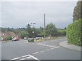
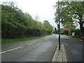
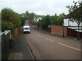
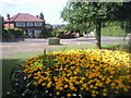
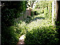
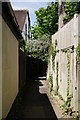
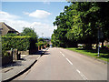
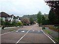
24 photos from this area
Area Information
Key information about the CR2 0BL including its size, population, and administrative classification.
- Area Type
- Postcode
- Area Size
- 1.0 hectares
- Population
- 1612
- Population Density
- 5390 people/km²
House Prices in CR2 0BL
19
Properties
£559,031
Average Sold Price
£243,300
Lowest Price
£1,150,000
Highest Price
Showing 19 properties
| Address | Type | Beds | Baths | Last Sale Price | Last Sale Date | |
|---|---|---|---|---|---|---|
| 18 Brambledown Road, South Croydon, CR2 0BL | Detached | - | - | £950,000 | Mar 2024 | |
| 26 Brambledown Road, South Croydon, CR2 0BL | house | 5 | 2 | £1,150,000 | Jul 2023 | |
| 16 Brambledown Road, South Croydon, CR2 0BL | house | - | - | £550,000 | Apr 2015 | |
| 4 Brambledown Road, South Croydon, CR2 0BL | Detached | - | - | £630,000 | Mar 2006 | |
| 14 Brambledown Road, South Croydon, CR2 0BL | house | - | - | £448,000 | Feb 2006 | |
| 2 Brambledown Road, South Croydon, CR2 0BL | Bungalow | 3 | 1 | £245,950 | Dec 2001 | |
| 6 Brambledown Road, South Croydon, CR2 0BL | Semi-detached | 7 | 2 | £243,300 | Jul 1999 | |
| 22 Brambledown Road, South Croydon, CR2 0BL | Detached | - | - | £255,000 | Jul 1997 | |
| Flat 2, 12 Brambledown Road, South Croydon, CR2 0BL | Flat | 2 | 1 | - | - | |
| Flat 3, 10 Brambledown Road, South Croydon, CR2 0BL | Flat | 2 | 2 | - | - |
Page 1 of 2
Energy Efficiency in CR2 0BL
Amenities
Schools
| Rank | School | Type | Entry gender | Ages |
|---|
Explore more schools in this area
Go to Schools tabDemographics
Household Size
Family (3-5 people)
most common
Accommodation Type
Houses
most common
Tenure
60
majority
Ethnic Group
White
most common
Religion
N/A
most common
Household Composition
N/A
most common
Age
47
median
Adults (30-64 years)
most common
Household Deprivation
N/A
with no deprivation
NS-SEC
46
in Lower managerial occupations
Explore more demographic insights in this area
Go to Demographics tabPlanning
Planning Constraints
- Flood RiskPremium
- Ramsar Wetland SitesPremium
- Area of Outstanding Natural BeautyPremium
- Protected Nature ReservePremium
- Protected WoodlandPremium