Area Overview for CR0 8PT
Photos of CR0 8PT
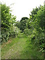
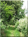
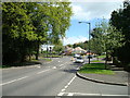

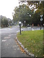
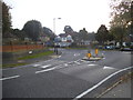
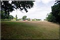
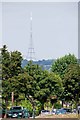
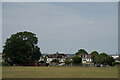
58 photos from this area
Area Information
Key information about the CR0 8PT including its size, population, and administrative classification.
- Area Type
- Postcode
- Area Size
- 1.5 hectares
- Population
- 1392
- Population Density
- 4793 people/km²
House Prices in CR0 8PT
25
Properties
£384,030
Average Sold Price
£92,000
Lowest Price
£614,555
Highest Price
Showing 25 properties
| Address | Type | Beds | Baths | Last Sale Price | Last Sale Date | |
|---|---|---|---|---|---|---|
| 6 Shirley Way, Croydon, CR0 8PT | Semi-detached | 4 | 2 | £565,000 | May 2025 | |
| 2 Shirley Way, Croydon, CR0 8PT | Semi-detached | 3 | 2 | £614,555 | Sep 2021 | |
| 16 Shirley Way, Croydon, CR0 8PT | house | - | - | £532,000 | Jul 2021 | |
| 20 Shirley Way, Croydon, CR0 8PT | Semi-detached | 3 | - | £545,000 | Jun 2021 | |
| 42 Shirley Way, Croydon, CR0 8PT | Semi-detached | 3 | 1 | £505,000 | Jan 2021 | |
| 36 Shirley Way, Croydon, CR0 8PT | Semi-detached | 4 | - | £530,000 | Jun 2020 | |
| 4 Shirley Way, Croydon, CR0 8PT | Semi-detached | 3 | 1 | £544,000 | Sep 2018 | |
| 8 Shirley Way, Croydon, CR0 8PT | house | - | - | £535,000 | May 2016 | |
| 38 Shirley Way, Croydon, CR0 8PT | house | - | - | £450,000 | Jan 2016 | |
| 50 Shirley Way, Croydon, CR0 8PT | Detached | 4 | - | £454,000 | Aug 2015 |
Page 1 of 3
Energy Efficiency in CR0 8PT
Amenities
Schools
| Rank | School | Type | Entry gender | Ages |
|---|
Explore more schools in this area
Go to Schools tabDemographics
Household Size
Family (3-5 people)
most common
Accommodation Type
Houses
most common
Tenure
95
majority
Ethnic Group
White
most common
Religion
N/A
most common
Household Composition
N/A
most common
Age
47
median
Adults (30-64 years)
most common
Household Deprivation
N/A
with no deprivation
NS-SEC
44
in Lower managerial occupations
Explore more demographic insights in this area
Go to Demographics tabPlanning
Planning Constraints
- Flood RiskPremium
- Ramsar Wetland SitesPremium
- Area of Outstanding Natural BeautyPremium
- Protected Nature ReservePremium
- Protected WoodlandPremium