Area Overview for CR0 8PE
Photos of CR0 8PE
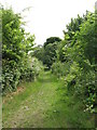
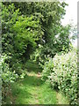
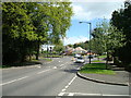
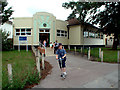
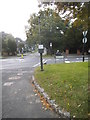
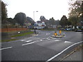
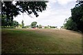
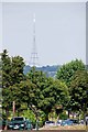
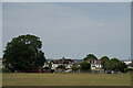
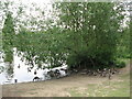
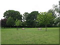
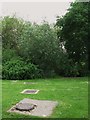
58 photos from this area
Area Information
Key information about the CR0 8PE including its size, population, and administrative classification.
- Area Type
- Postcode
- Area Size
- 4606 m²
- Population
- 1627
- Population Density
- 4932 people/km²
House Prices in CR0 8PE
11
Properties
£411,563
Average Sold Price
£214,000
Lowest Price
£640,000
Highest Price
Showing 11 properties
| Address | Type | Beds | Baths | Last Sale Price | Last Sale Date | |
|---|---|---|---|---|---|---|
| 112 Shirley Way, Croydon, CR0 8PE | Detached | 3 | 1 | £640,000 | Aug 2025 | |
| 118 Shirley Way, Croydon, CR0 8PE | Semi-detached | 3 | - | £585,000 | Mar 2022 | |
| 126 Shirley Way, Croydon, CR0 8PE | Semi-detached | 3 | - | £482,000 | Apr 2019 | |
| 130 Shirley Way, Croydon, CR0 8PE | house | 3 | - | £314,000 | Mar 2011 | |
| 132 Shirley Way, Croydon, CR0 8PE | house | - | - | £420,000 | Oct 2009 | |
| 122 Shirley Way, Croydon, CR0 8PE | Semi-detached | - | - | £272,500 | Mar 2009 | |
| 120 Shirley Way, Croydon, CR0 8PE | house | - | - | £365,000 | Apr 2008 | |
| 128 Shirley Way, Croydon, CR0 8PE | Semi-detached | - | - | £214,000 | Nov 2001 | |
| 114 Shirley Way, Croydon, CR0 8PE | Semi-detached | 3 | - | - | - | |
| 124 Shirley Way, Croydon, CR0 8PE | Semi-detached | - | - | - | - |
Page 1 of 2
Energy Efficiency in CR0 8PE
Amenities
Schools
| Rank | School | Type | Entry gender | Ages |
|---|
Explore more schools in this area
Go to Schools tabDemographics
Household Size
Family (3-5 people)
most common
Accommodation Type
Houses
most common
Tenure
89
majority
Ethnic Group
White
most common
Religion
N/A
most common
Household Composition
N/A
most common
Age
47
median
Adults (30-64 years)
most common
Household Deprivation
N/A
with no deprivation
NS-SEC
43
in Lower managerial occupations
Explore more demographic insights in this area
Go to Demographics tabPlanning
Planning Constraints
- Flood RiskPremium
- Ramsar Wetland SitesPremium
- Area of Outstanding Natural BeautyPremium
- Protected Nature ReservePremium
- Protected WoodlandPremium