Area Overview for CR0 6NE
Photos of CR0 6NE
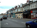
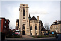
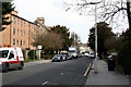
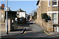
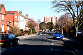
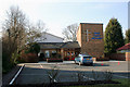
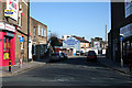
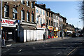
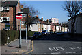
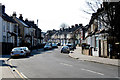
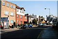
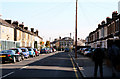
100 photos from this area
Area Information
Key information about the CR0 6NE including its size, population, and administrative classification.
- Area Type
- Postcode
- Area Size
- 1.4 hectares
- Population
- 1730
- Population Density
- 10117 people/km²
House Prices in CR0 6NE
41
Properties
£222,778
Average Sold Price
£63,250
Lowest Price
£445,000
Highest Price
Showing 41 properties
| Address | Type | Beds | Baths | Last Sale Price | Last Sale Date | |
|---|---|---|---|---|---|---|
| 160 Morland Road, Croydon, CR0 6NE | Terraced | 3 | 1 | £400,000 | Oct 2024 | |
| 172 Morland Road, Croydon, CR0 6NE | Terraced | 3 | 1 | £340,000 | May 2024 | |
| 116 Morland Road, Croydon, CR0 6NE | Retail | 3 | 1 | £445,000 | Sep 2022 | |
| 168 Morland Road, Croydon, CR0 6NE | house | - | - | £400,000 | Dec 2021 | |
| 112 Morland Road, Croydon, CR0 6NE | Semi-detached | 2 | 1 | £358,000 | Mar 2021 | |
| 110 Morland Road, Croydon, CR0 6NE | Terraced | 2 | 1 | £334,000 | Feb 2019 | |
| 140 Morland Road, Croydon, CR0 6NE | house | - | - | £360,000 | Sep 2016 | |
| 126 Morland Road, Croydon, CR0 6NE | Terraced | 3 | 1 | £318,000 | Jan 2015 | |
| 122 Morland Road, Croydon, CR0 6NE | Terraced | 3 | - | £225,000 | Apr 2014 | |
| 148 Morland Road, Croydon, CR0 6NE | Terraced | 3 | 1 | £248,000 | Jul 2013 |
Page 1 of 5
Energy Efficiency in CR0 6NE
Amenities
Schools
| Rank | School | Type | Entry gender | Ages |
|---|
Explore more schools in this area
Go to Schools tabDemographics
Household Size
Family (3-5 people)
most common
Accommodation Type
Houses
most common
Tenure
67
majority
Ethnic Group
White
most common
Religion
N/A
most common
Household Composition
N/A
most common
Age
47
median
Adults (30-64 years)
most common
Household Deprivation
N/A
with no deprivation
NS-SEC
39
in Lower managerial occupations
Explore more demographic insights in this area
Go to Demographics tabPlanning
Planning Constraints
- Flood RiskPremium
- Ramsar Wetland SitesPremium
- Area of Outstanding Natural BeautyPremium
- Protected Nature ReservePremium
- Protected WoodlandPremium