Area Overview for CR0 6JE
Photos of CR0 6JE
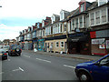
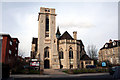
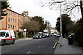
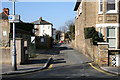
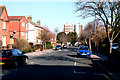
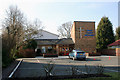
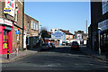
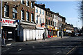
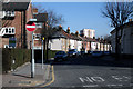
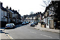
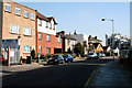
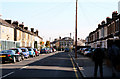
100 photos from this area
Area Information
Key information about the CR0 6JE including its size, population, and administrative classification.
- Area Type
- Postcode
- Area Size
- 5440 m²
- Population
- 1730
- Population Density
- 10117 people/km²
House Prices in CR0 6JE
28
Properties
£256,281
Average Sold Price
£65,500
Lowest Price
£432,000
Highest Price
Showing 28 properties
| Address | Type | Beds | Baths | Last Sale Price | Last Sale Date | |
|---|---|---|---|---|---|---|
| 36 Northway Road, Croydon, CR0 6JE | Terraced | 2 | 1 | £389,000 | Dec 2025 | |
| 32 Northway Road, Croydon, CR0 6JE | Terraced | 2 | 1 | £400,000 | Oct 2025 | |
| 38 Northway Road, Croydon, CR0 6JE | Terraced | 2 | 1 | £370,000 | Apr 2024 | |
| 24 Northway Road, Croydon, CR0 6JE | Terraced | 3 | 1 | £432,000 | May 2022 | |
| 12 Northway Road, Croydon, CR0 6JE | Terraced | 3 | 1 | £427,500 | Sep 2021 | |
| 54 Northway Road, Croydon, CR0 6JE | Terraced | 3 | 1 | £410,000 | Apr 2021 | |
| 18 Northway Road, Croydon, CR0 6JE | house | - | - | £390,000 | Sep 2020 | |
| 10 Northway Road, Croydon, CR0 6JE | Terraced | 2 | 1 | £382,000 | Feb 2020 | |
| 8 Northway Road, Croydon, CR0 6JE | Terraced | 2 | 1 | £370,000 | Sep 2017 | |
| 40 Northway Road, Croydon, CR0 6JE | Terraced | 2 | 1 | £390,000 | Jul 2016 |
Page 1 of 3
Energy Efficiency in CR0 6JE
Amenities
Schools
| Rank | School | Type | Entry gender | Ages |
|---|
Explore more schools in this area
Go to Schools tabDemographics
Household Size
Family (3-5 people)
most common
Accommodation Type
Houses
most common
Tenure
67
majority
Ethnic Group
White
most common
Religion
N/A
most common
Household Composition
N/A
most common
Age
47
median
Adults (30-64 years)
most common
Household Deprivation
N/A
with no deprivation
NS-SEC
39
in Lower managerial occupations
Explore more demographic insights in this area
Go to Demographics tabPlanning
Planning Constraints
- Flood RiskPremium
- Ramsar Wetland SitesPremium
- Area of Outstanding Natural BeautyPremium
- Protected Nature ReservePremium
- Protected WoodlandPremium