Area Overview for CR0 5PX
Photos of CR0 5PX
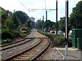
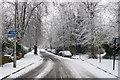
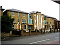
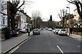
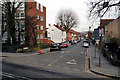
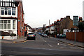
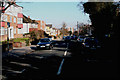
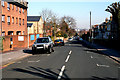
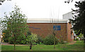
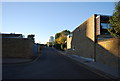
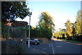
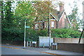
100 photos from this area
Area Information
Key information about the CR0 5PX including its size, population, and administrative classification.
- Area Type
- Postcode
- Area Size
- 7743 m²
- Population
- 1715
- Population Density
- 11072 people/km²
House Prices in CR0 5PX
45
Properties
£223,769
Average Sold Price
£80,000
Lowest Price
£375,000
Highest Price
Showing 45 properties
| Address | Type | Beds | Baths | Last Sale Price | Last Sale Date | |
|---|---|---|---|---|---|---|
| 25 Granville Close, Croydon, CR0 5PX | Flat | 1 | 1 | £220,000 | Oct 2025 | |
| 27 Granville Close, Croydon, CR0 5PX | Flat | 1 | 1 | £222,000 | Jun 2024 | |
| 44 Granville Close, Croydon, CR0 5PX | Flat | - | - | £375,000 | Mar 2021 | |
| 37 Granville Close, Croydon, CR0 5PX | Maisonette | 2 | 1 | £355,000 | Aug 2020 | |
| 23 Granville Close, Croydon, CR0 5PX | Flat | - | - | £271,000 | Aug 2019 | |
| 33 Granville Close, Croydon, CR0 5PX | Flat | - | - | £235,000 | Sep 2015 | |
| 24 Granville Close, Croydon, CR0 5PX | Flat | - | - | £210,000 | Apr 2014 | |
| 17 Granville Close, Croydon, CR0 5PX | Flat | - | - | £157,000 | Feb 2013 | |
| 39 Granville Close, Croydon, CR0 5PX | Maisonette | - | - | £230,000 | Oct 2012 | |
| 26 Granville Close, Croydon, CR0 5PX | Flat | 1 | 1 | £132,000 | Sep 2012 |
Page 1 of 5
Energy Efficiency in CR0 5PX
Amenities
Schools
| Rank | School | Type | Entry gender | Ages |
|---|
Explore more schools in this area
Go to Schools tabDemographics
Household Size
One person
most common
Accommodation Type
Flats
most common
Tenure
26
majority
Ethnic Group
White
most common
Religion
N/A
most common
Household Composition
N/A
most common
Age
47
median
Adults (30-64 years)
most common
Household Deprivation
N/A
with no deprivation
NS-SEC
40
in Lower managerial occupations
Explore more demographic insights in this area
Go to Demographics tabPlanning
Planning Constraints
- Flood RiskPremium
- Ramsar Wetland SitesPremium
- Area of Outstanding Natural BeautyPremium
- Protected Nature ReservePremium
- Protected WoodlandPremium