Area Overview for CR0 4UF
Photos of CR0 4UF
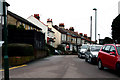
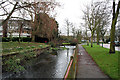
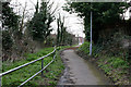
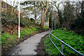
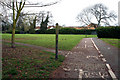
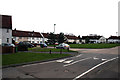
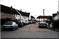
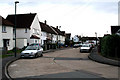
100 photos from this area
Area Information
Key information about the CR0 4UF including its size, population, and administrative classification.
- Area Type
- Postcode
- Area Size
- 7.9 hectares
- Population
- 1630
- Population Density
- 475 people/km²
House Prices in CR0 4UF
22
Properties
£302,295
Average Sold Price
£180,000
Lowest Price
£500,000
Highest Price
Showing 22 properties
| Address | Type | Beds | Baths | Last Sale Price | Last Sale Date | |
|---|---|---|---|---|---|---|
| 80 Crispin Crescent, Beddington, CR0 4UF | house | - | - | £405,000 | Dec 2024 | |
| 102 Crispin Crescent, Beddington, CR0 4UF | Terraced | 3 | 1 | £450,000 | Jun 2022 | |
| 106 Crispin Crescent, Beddington, CR0 4UF | Terraced | 3 | - | £500,000 | Jun 2021 | |
| 72 Crispin Crescent, Beddington, CR0 4UF | Terraced | 3 | 1 | £425,000 | Feb 2021 | |
| 114 Crispin Crescent, Beddington, CR0 4UF | Semi-detached | 3 | - | £180,000 | Dec 2013 | |
| 82 Crispin Crescent, Beddington, CR0 4UF | Terraced | - | - | £235,000 | Aug 2008 | |
| 74 Crispin Crescent, Beddington, CR0 4UF | Terraced | - | - | £220,000 | Feb 2008 | |
| 112 Crispin Crescent, Beddington, CR0 4UF | house | - | - | £209,950 | Aug 2006 | |
| 108 Crispin Crescent, Beddington, CR0 4UF | Terraced | - | - | £200,000 | Jul 2005 | |
| 94 Crispin Crescent, Beddington, CR0 4UF | Terraced | 3 | 1 | £198,000 | Jul 2004 |
Page 1 of 3
Energy Efficiency in CR0 4UF
Amenities
Schools
| Rank | School | Type | Entry gender | Ages |
|---|
Explore more schools in this area
Go to Schools tabDemographics
Household Size
Family (3-5 people)
most common
Accommodation Type
Houses
most common
Tenure
65
majority
Ethnic Group
White
most common
Religion
N/A
most common
Household Composition
N/A
most common
Age
47
median
Adults (30-64 years)
most common
Household Deprivation
N/A
with no deprivation
NS-SEC
31
in Lower managerial occupations
Explore more demographic insights in this area
Go to Demographics tabPlanning
Planning Constraints
- Flood RiskPremium
- Ramsar Wetland SitesPremium
- Area of Outstanding Natural BeautyPremium
- Protected Nature ReservePremium
- Protected WoodlandPremium