Area Overview for CR0 3RG
Photos of CR0 3RG
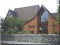
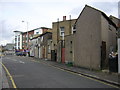

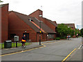
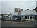
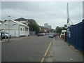
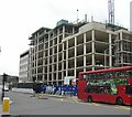
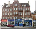
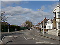
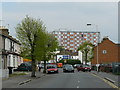
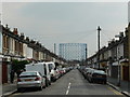
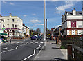
90 photos from this area
Area Information
Key information about the CR0 3RG including its size, population, and administrative classification.
- Area Type
- Postcode
- Area Size
- 4706 m²
- Population
- 2194
- Population Density
- 11041 people/km²
House Prices in CR0 3RG
12
Properties
£205,857
Average Sold Price
£35,000
Lowest Price
£355,000
Highest Price
Showing 12 properties
| Address | Type | Beds | Baths | Last Sale Price | Last Sale Date | |
|---|---|---|---|---|---|---|
| 60 Mitcham Road, Croydon, CR0 3RG | Semi-detached | 3 | 1 | £355,000 | Jul 2016 | |
| 64 Mitcham Road, Croydon, CR0 3RG | house | - | - | £250,000 | Aug 2014 | |
| 62 Mitcham Road, Croydon, CR0 3RG | Terraced | 2 | 1 | £250,000 | Jul 2014 | |
| 68A Mitcham Road, Croydon, CR0 3RG | Flat | 2 | 1 | £164,000 | Apr 2010 | |
| 60A Mitcham Road, Croydon, CR0 3RG | Detached | - | - | £225,000 | Dec 2008 | |
| 66 Mitcham Road, Croydon, CR0 3RG | Terraced | 2 | 1 | £162,000 | Feb 2005 | |
| 70 Mitcham Road, Croydon, CR0 3RG | Terraced | - | - | £35,000 | Jan 1997 | |
| 58 Mitcham Road, Croydon, CR0 3RG | Maisonette | 3 | 1 | - | - | |
| 58A Mitcham Road, Croydon, CR0 3RG | Flat | 1 | - | - | - | |
| 78 Mitcham Road, Croydon, CR0 3RG | Office | - | - | - | - |
Page 1 of 2
Energy Efficiency in CR0 3RG
Amenities
Schools
| Rank | School | Type | Entry gender | Ages |
|---|
Explore more schools in this area
Go to Schools tabDemographics
Household Size
One person
most common
Accommodation Type
Flats
most common
Tenure
22
majority
Ethnic Group
black_total
most common
Religion
N/A
most common
Household Composition
N/A
most common
Age
47
median
Adults (30-64 years)
most common
Household Deprivation
N/A
with no deprivation
NS-SEC
18
in Lower managerial occupations
Explore more demographic insights in this area
Go to Demographics tabPlanning
Planning Constraints
- Flood RiskPremium
- Ramsar Wetland SitesPremium
- Area of Outstanding Natural BeautyPremium
- Protected Nature ReservePremium
- Protected WoodlandPremium