Area Overview for CR0 3PY
Photos of CR0 3PY
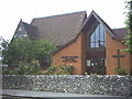
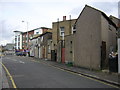

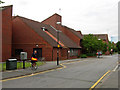
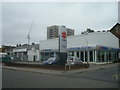
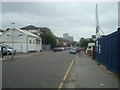
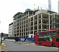
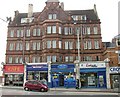
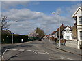
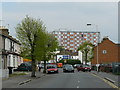
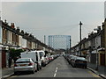
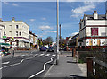
90 photos from this area
Area Information
Key information about the CR0 3PY including its size, population, and administrative classification.
- Area Type
- Postcode
- Area Size
- 9390 m²
- Population
- 2049
- Population Density
- 17864 people/km²
House Prices in CR0 3PY
61
Properties
£182,136
Average Sold Price
£50,000
Lowest Price
£375,000
Highest Price
Showing 61 properties
| Address | Type | Beds | Baths | Last Sale Price | Last Sale Date | |
|---|---|---|---|---|---|---|
| 3B Canterbury Road, Croydon, CR0 3PY | Flat | - | - | £250,000 | Mar 2023 | |
| 5A Canterbury Road, Croydon, CR0 3PY | Flat | - | - | £135,000 | Mar 2012 | |
| 31 Canterbury Road, Croydon, CR0 3PY | house | 4 | 1 | £230,000 | Feb 2012 | |
| 27 Canterbury Road, Croydon, CR0 3PY | house | - | - | £222,000 | Sep 2011 | |
| 19A Canterbury Road, Croydon, CR0 3PY | Maisonette | - | - | £163,000 | Apr 2010 | |
| 19 Canterbury Road, Croydon, CR0 3PY | Flat | 2 | 1 | £160,000 | Nov 2009 | |
| 1A Canterbury Road, Croydon, CR0 3PY | Flat | - | - | £119,500 | Sep 2007 | |
| 13 Canterbury Road, Croydon, CR0 3PY | Flat | - | - | £144,000 | Dec 2006 | |
| 3 Canterbury Road, Croydon, CR0 3PY | Flat | - | - | £155,000 | Oct 2005 | |
| 43A Canterbury Road, Croydon, CR0 3PY | house | - | - | £375,000 | Jan 1999 |
Page 1 of 7
Energy Efficiency in CR0 3PY
Amenities
Schools
| Rank | School | Type | Entry gender | Ages |
|---|
Explore more schools in this area
Go to Schools tabDemographics
Household Size
Family (3-5 people)
most common
Accommodation Type
Houses
most common
Tenure
52
majority
Ethnic Group
asian_total
most common
Religion
N/A
most common
Household Composition
N/A
most common
Age
47
median
Adults (30-64 years)
most common
Household Deprivation
N/A
with no deprivation
NS-SEC
25
in Lower managerial occupations
Explore more demographic insights in this area
Go to Demographics tabPlanning
Planning Constraints
- Flood RiskPremium
- Ramsar Wetland SitesPremium
- Area of Outstanding Natural BeautyPremium
- Protected Nature ReservePremium
- Protected WoodlandPremium