Area Overview for CR0 3LN
Photos of CR0 3LN
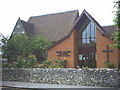
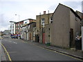

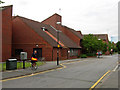
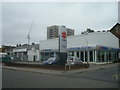
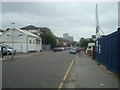
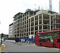
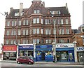
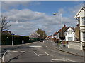
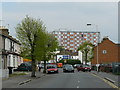
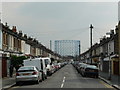
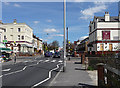
90 photos from this area
Area Information
Key information about the CR0 3LN including its size, population, and administrative classification.
- Area Type
- Postcode
- Area Size
- 8803 m²
- Population
- Not available
- Population Density
- Not available
House Prices in CR0 3LN
89
Properties
£162,722
Average Sold Price
£4,250
Lowest Price
£301,000
Highest Price
Showing 89 properties
| Address | Type | Beds | Baths | Last Sale Price | Last Sale Date | |
|---|---|---|---|---|---|---|
| 31 Sumner Road, Croydon, CR0 3LN | Flat | 2 | - | £4,250 | Sep 2019 | |
| 31A Sumner Road, Croydon, CR0 3LN | Flat | - | - | £263,000 | Aug 2017 | |
| 63 Sumner Road, Croydon, CR0 3LN | Terraced | 2 | 1 | £301,000 | Apr 2016 | |
| 41 Sumner Road, Croydon, CR0 3LN | Terraced | 2 | 1 | £180,000 | May 2011 | |
| 45 Sumner Road, Croydon, CR0 3LN | house | - | - | £200,000 | Apr 2011 | |
| 69 Sumner Road, Croydon, CR0 3LN | house | 2 | - | £170,000 | Apr 2010 | |
| 47 Sumner Road, Croydon, CR0 3LN | Terraced | 2 | 1 | £180,000 | Apr 2009 | |
| South London Ymca, Ingram Court, 59 Sumner Road, Croydon, CR0 3LN | house | - | - | £174,000 | Oct 2005 | |
| 61 Sumner Road, Croydon, CR0 3LN | Detached | - | - | £174,000 | Jul 2005 | |
| 39A Sumner Road, Croydon, CR0 3LN | Flat | 2 | - | £160,000 | Jan 2005 |
Page 1 of 9
Energy Efficiency in CR0 3LN
Amenities
Schools
| Rank | School | Type | Entry gender | Ages |
|---|
Explore more schools in this area
Go to Schools tabDemographics
Household Size
Family (3-5 people)
most common
Accommodation Type
Flats
most common
Tenure
26
majority
Ethnic Group
black_total
most common
Religion
N/A
most common
Household Composition
N/A
most common
Age
47
median
Adults (30-64 years)
most common
Household Deprivation
N/A
with no deprivation
NS-SEC
20
in Lower managerial occupations
Explore more demographic insights in this area
Go to Demographics tabPlanning
Planning Constraints
- Flood RiskPremium
- Ramsar Wetland SitesPremium
- Area of Outstanding Natural BeautyPremium
- Protected Nature ReservePremium
- Protected WoodlandPremium