Area Overview for CR0 3JN
Photos of CR0 3JN

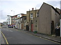

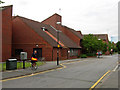
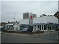
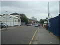
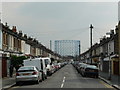
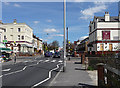
90 photos from this area
Area Information
Key information about the CR0 3JN including its size, population, and administrative classification.
- Area Type
- Postcode
- Area Size
- 1.3 hectares
- Population
- 1668
- Population Density
- 9075 people/km²
House Prices in CR0 3JN
45
Properties
£251,300
Average Sold Price
£61,500
Lowest Price
£480,000
Highest Price
Showing 45 properties
| Address | Type | Beds | Baths | Last Sale Price | Last Sale Date | |
|---|---|---|---|---|---|---|
| 316 Mitcham Road, Croydon, CR0 3JN | Terraced | 3 | - | £480,000 | Aug 2025 | |
| 298 Mitcham Road, Croydon, CR0 3JN | Terraced | 3 | 1 | £450,000 | Mar 2025 | |
| 286 Mitcham Road, Croydon, CR0 3JN | Terraced | 3 | 1 | £420,000 | Jul 2023 | |
| 264 Mitcham Road, Croydon, CR0 3JN | house | - | - | £385,000 | Sep 2022 | |
| 322 Mitcham Road, Croydon, CR0 3JN | Terraced | 3 | 1 | £386,000 | Nov 2019 | |
| 246 Mitcham Road, Croydon, CR0 3JN | Terraced | 3 | 1 | £428,000 | Jul 2019 | |
| 324 Mitcham Road, Croydon, CR0 3JN | Terraced | 3 | 1 | £303,100 | Mar 2019 | |
| 320 Mitcham Road, Croydon, CR0 3JN | Terraced | 4 | 2 | £390,000 | Sep 2017 | |
| 258 Mitcham Road, Croydon, CR0 3JN | Terraced | 3 | - | £355,000 | Jun 2017 | |
| 256 Mitcham Road, Croydon, CR0 3JN | Terraced | 3 | 1 | £375,000 | Jul 2016 |
Page 1 of 5
Energy Efficiency in CR0 3JN
Amenities
Schools
| Rank | School | Type | Entry gender | Ages |
|---|
Explore more schools in this area
Go to Schools tabDemographics
Household Size
Family (3-5 people)
most common
Accommodation Type
Houses
most common
Tenure
50
majority
Ethnic Group
asian_total
most common
Religion
N/A
most common
Household Composition
N/A
most common
Age
47
median
Adults (30-64 years)
most common
Household Deprivation
N/A
with no deprivation
NS-SEC
19
in Lower managerial occupations
Explore more demographic insights in this area
Go to Demographics tabPlanning
Planning Constraints
- Flood RiskPremium
- Ramsar Wetland SitesPremium
- Area of Outstanding Natural BeautyPremium
- Protected Nature ReservePremium
- Protected WoodlandPremium