Area Overview for CR0 3JA
Photos of CR0 3JA

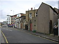

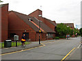
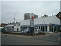
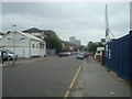
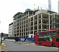
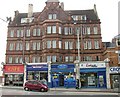
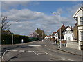
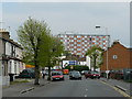
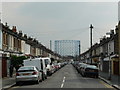
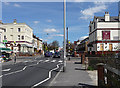
90 photos from this area
Area Information
Key information about the CR0 3JA including its size, population, and administrative classification.
- Area Type
- Postcode
- Area Size
- 6891 m²
- Population
- 1733
- Population Density
- 18919 people/km²
House Prices in CR0 3JA
46
Properties
£231,500
Average Sold Price
£46,000
Lowest Price
£452,000
Highest Price
Showing 46 properties
| Address | Type | Beds | Baths | Last Sale Price | Last Sale Date | |
|---|---|---|---|---|---|---|
| 72 Dennett Road, Croydon, CR0 3JA | Terraced | 2 | 1 | £375,000 | Sep 2025 | |
| 16 Dennett Road, Croydon, CR0 3JA | house | - | - | £450,000 | Jan 2024 | |
| 84 Dennett Road, Croydon, CR0 3JA | house | - | - | £418,000 | May 2023 | |
| 80 Dennett Road, Croydon, CR0 3JA | Terraced | 3 | 1 | £452,000 | Dec 2022 | |
| 44 Dennett Road, Croydon, CR0 3JA | Terraced | 3 | 1 | £416,000 | Mar 2022 | |
| 40 Dennett Road, Croydon, CR0 3JA | house | 5 | 1 | £340,000 | Nov 2021 | |
| 64 Dennett Road, Croydon, CR0 3JA | Terraced | 3 | 1 | £375,000 | Feb 2019 | |
| 86 Dennett Road, Croydon, CR0 3JA | Terraced | 3 | 1 | £348,000 | Dec 2017 | |
| 46 Dennett Road, Croydon, CR0 3JA | house | - | - | £265,000 | Feb 2017 | |
| Flat 2, 2 Dennett Road, Croydon, CR0 3JA | Terraced | 4 | 2 | £199,000 | Jan 2017 |
Page 1 of 5
Energy Efficiency in CR0 3JA
Amenities
Schools
| Rank | School | Type | Entry gender | Ages |
|---|
Explore more schools in this area
Go to Schools tabDemographics
Household Size
Family (3-5 people)
most common
Accommodation Type
Houses
most common
Tenure
49
majority
Ethnic Group
asian_total
most common
Religion
N/A
most common
Household Composition
N/A
most common
Age
47
median
Adults (30-64 years)
most common
Household Deprivation
N/A
with no deprivation
NS-SEC
24
in Lower managerial occupations
Explore more demographic insights in this area
Go to Demographics tabPlanning
Planning Constraints
- Flood RiskPremium
- Ramsar Wetland SitesPremium
- Area of Outstanding Natural BeautyPremium
- Protected Nature ReservePremium
- Protected WoodlandPremium