Area Overview for CR0 3EU
Photos of CR0 3EU
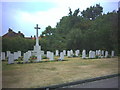
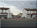
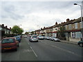
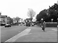
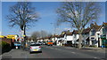
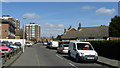
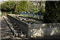
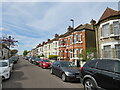
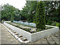
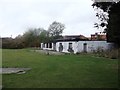
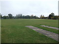
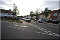
44 photos from this area
Area Information
Key information about the CR0 3EU including its size, population, and administrative classification.
- Area Type
- Postcode
- Area Size
- 2.6 hectares
- Population
- 1980
- Population Density
- 12958 people/km²
House Prices in CR0 3EU
38
Properties
£310,333
Average Sold Price
£163,000
Lowest Price
£382,000
Highest Price
Showing 38 properties
| Address | Type | Beds | Baths | Last Sale Price | Last Sale Date | |
|---|---|---|---|---|---|---|
| 246 Thornton Road, Croydon, CR0 3EU | Terraced | 3 | 1 | £382,000 | May 2023 | |
| 248 Thornton Road, Croydon, CR0 3EU | Terraced | 3 | 1 | £317,000 | Dec 2019 | |
| 258 Thornton Road, Croydon, CR0 3EU | Terraced | 3 | 1 | £365,000 | Apr 2018 | |
| 252 Thornton Road, Croydon, CR0 3EU | Terraced | 3 | - | £320,000 | Jan 2016 | |
| 260 Thornton Road, Croydon, CR0 3EU | Terraced | 3 | - | £315,000 | Dec 2015 | |
| 244 Thornton Road, Croydon, CR0 3EU | house | - | - | £163,000 | Aug 2003 | |
| 240A Thornton Road, Croydon, CR0 3EU | Detached | 1 | 1 | - | - | |
| Ground Floor Flat, 256 Thornton Road, Croydon, CR0 3EU | Flat | 3 | 1 | - | - | |
| 288A Thornton Road, Croydon, CR0 3EU | Flat | 1 | - | - | - | |
| First Floor Flat, 256 Thornton Road, Croydon, CR0 3EU | Flat | - | - | - | - |
Page 1 of 4
Energy Efficiency in CR0 3EU
Amenities
Schools
| Rank | School | Type | Entry gender | Ages |
|---|
Explore more schools in this area
Go to Schools tabDemographics
Household Size
Family (3-5 people)
most common
Accommodation Type
Houses
most common
Tenure
45
majority
Ethnic Group
asian_total
most common
Religion
N/A
most common
Household Composition
N/A
most common
Age
47
median
Adults (30-64 years)
most common
Household Deprivation
N/A
with no deprivation
NS-SEC
23
in Lower managerial occupations
Explore more demographic insights in this area
Go to Demographics tabPlanning
Planning Constraints
- Flood RiskPremium
- Ramsar Wetland SitesPremium
- Area of Outstanding Natural BeautyPremium
- Protected Nature ReservePremium
- Protected WoodlandPremium