Area Overview for CR0 2PE
Photos of CR0 2PE

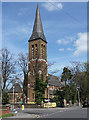
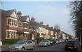
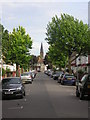
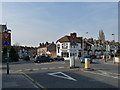
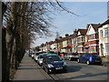
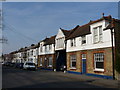
90 photos from this area
Area Information
Key information about the CR0 2PE including its size, population, and administrative classification.
- Area Type
- Postcode
- Area Size
- 6905 m²
- Population
- Not available
- Population Density
- Not available
House Prices in CR0 2PE
32
Properties
£268,607
Average Sold Price
£81,000
Lowest Price
£435,000
Highest Price
Showing 32 properties
| Address | Type | Beds | Baths | Last Sale Price | Last Sale Date | |
|---|---|---|---|---|---|---|
| Sharda, 46 Lodge Road, Croydon, CR0 2PE | Bungalow | 3 | 1 | £435,000 | Jul 2022 | |
| 64 Lodge Road, Croydon, CR0 2PE | house | 3 | - | £380,000 | Feb 2016 | |
| 60 Lodge Road, Croydon, CR0 2PE | Detached | 3 | - | £395,000 | Feb 2016 | |
| 66 Lodge Road, Croydon, CR0 2PE | Semi-detached | 3 | 1 | £400,000 | Sep 2015 | |
| 50 Lodge Road, Croydon, CR0 2PE | Terraced | 3 | 1 | £327,500 | Aug 2014 | |
| 72 Lodge Road, Croydon, CR0 2PE | Semi-detached | 3 | - | £285,000 | Jun 2013 | |
| 78 Lodge Road, Croydon, CR0 2PE | house | - | - | £160,000 | Mar 2013 | |
| 80 Lodge Road, Croydon, CR0 2PE | house | - | - | £160,000 | Dec 2011 | |
| 62 Lodge Road, Croydon, CR0 2PE | house | - | - | £220,000 | Aug 2011 | |
| 52 Lodge Road, Croydon, CR0 2PE | Terraced | 3 | 1 | £230,000 | Nov 2010 |
Page 1 of 4
Energy Efficiency in CR0 2PE
Amenities
Schools
| Rank | School | Type | Entry gender | Ages |
|---|
Explore more schools in this area
Go to Schools tabDemographics
Household Size
Family (3-5 people)
most common
Accommodation Type
Flats
most common
Tenure
33
majority
Ethnic Group
asian_total
most common
Religion
N/A
most common
Household Composition
N/A
most common
Age
47
median
Adults (30-64 years)
most common
Household Deprivation
N/A
with no deprivation
NS-SEC
25
in Lower managerial occupations
Explore more demographic insights in this area
Go to Demographics tabPlanning
Planning Constraints
- Flood RiskPremium
- Ramsar Wetland SitesPremium
- Area of Outstanding Natural BeautyPremium
- Protected Nature ReservePremium
- Protected WoodlandPremium