Area Overview for CR0 0RR
Photos of CR0 0RR
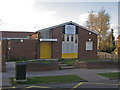
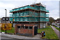
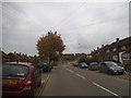
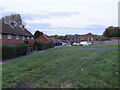
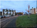
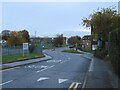
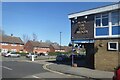
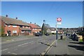
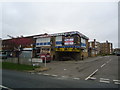
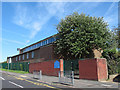
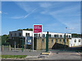
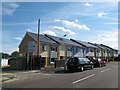
24 photos from this area
Area Information
Key information about the CR0 0RR including its size, population, and administrative classification.
- Area Type
- Postcode
- Area Size
- 9788 m²
- Population
- 1568
- Population Density
- 5375 people/km²
House Prices in CR0 0RR
30
Properties
£200,232
Average Sold Price
£56,000
Lowest Price
£440,000
Highest Price
Showing 30 properties
| Address | Type | Beds | Baths | Last Sale Price | Last Sale Date | |
|---|---|---|---|---|---|---|
| 1 Burford Way, Croydon, CR0 0RR | Semi-detached | 1 | 1 | £440,000 | Apr 2022 | |
| 16 Burford Way, Croydon, CR0 0RR | house | - | - | £385,000 | Feb 2021 | |
| 17 Burford Way, Croydon, CR0 0RR | house | 3 | 1 | £310,000 | Aug 2019 | |
| 2 Burford Way, Croydon, CR0 0RR | Semi-detached | 3 | - | £320,000 | Sep 2017 | |
| 31 Burford Way, Croydon, CR0 0RR | Terraced | 3 | 1 | £276,000 | Jun 2017 | |
| 8 Burford Way, Croydon, CR0 0RR | house | - | - | £290,000 | Mar 2017 | |
| 13 Burford Way, Croydon, CR0 0RR | Terraced | 3 | 1 | £315,000 | Jan 2016 | |
| 27 Burford Way, Croydon, CR0 0RR | Terraced | 3 | - | £291,000 | Sep 2015 | |
| 4 Burford Way, Croydon, CR0 0RR | house | - | - | £189,000 | Feb 2013 | |
| 7 Burford Way, Croydon, CR0 0RR | house | 3 | - | £170,000 | Feb 2012 |
Page 1 of 3
Energy Efficiency in CR0 0RR
Amenities
Schools
| Rank | School | Type | Entry gender | Ages |
|---|
Explore more schools in this area
Go to Schools tabDemographics
Household Size
Family (3-5 people)
most common
Accommodation Type
Houses
most common
Tenure
36
majority
Ethnic Group
White
most common
Religion
N/A
most common
Household Composition
N/A
most common
Age
47
median
Adults (30-64 years)
most common
Household Deprivation
N/A
with no deprivation
NS-SEC
17
in Lower managerial occupations
Explore more demographic insights in this area
Go to Demographics tabPlanning
Planning Constraints
- Flood RiskPremium
- Ramsar Wetland SitesPremium
- Area of Outstanding Natural BeautyPremium
- Protected Nature ReservePremium
- Protected WoodlandPremium