Area Overview for CR0 0QS
Photos of CR0 0QS

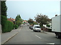
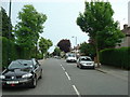
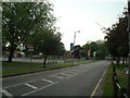
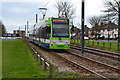
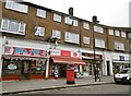
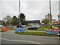
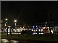
55 photos from this area
Area Information
Key information about the CR0 0QS including its size, population, and administrative classification.
- Area Type
- Postcode
- Area Size
- 7905 m²
- Population
- 1808
- Population Density
- 11665 people/km²
House Prices in CR0 0QS
25
Properties
£270,111
Average Sold Price
£90,000
Lowest Price
£395,000
Highest Price
Showing 25 properties
| Address | Type | Beds | Baths | Last Sale Price | Last Sale Date | |
|---|---|---|---|---|---|---|
| 17 Tilford Avenue, Croydon, CR0 0QS | Terraced | 3 | - | £395,000 | Dec 2022 | |
| 12 Tilford Avenue, Croydon, CR0 0QS | house | - | - | £340,000 | Jan 2021 | |
| 2 Tilford Avenue, Croydon, CR0 0QS | Terraced | 3 | 1 | £331,500 | Mar 2018 | |
| 4 Tilford Avenue, Croydon, CR0 0QS | house | - | - | £300,000 | Sep 2017 | |
| 10 Tilford Avenue, Croydon, CR0 0QS | Terraced | 3 | 2 | £330,000 | Aug 2017 | |
| 6 Tilford Avenue, Croydon, CR0 0QS | house | 3 | - | £320,000 | May 2016 | |
| 7 Tilford Avenue, Croydon, CR0 0QS | Flat | - | - | £148,500 | Apr 2014 | |
| 21 Tilford Avenue, Croydon, CR0 0QS | house | 3 | - | £176,000 | Jan 2007 | |
| 15 Tilford Avenue, Croydon, CR0 0QS | house | - | - | £90,000 | Mar 2000 | |
| 16 Tilford Avenue, Croydon, CR0 0QS | Terraced | 3 | 1 | - | - |
Page 1 of 3
Energy Efficiency in CR0 0QS
Amenities
Schools
| Rank | School | Type | Entry gender | Ages |
|---|
Explore more schools in this area
Go to Schools tabDemographics
Household Size
Family (3-5 people)
most common
Accommodation Type
Flats
most common
Tenure
19
majority
Ethnic Group
White
most common
Religion
N/A
most common
Household Composition
N/A
most common
Age
22
median
Adults (30-64 years)
most common
Household Deprivation
N/A
with no deprivation
NS-SEC
15
in Lower managerial occupations
Explore more demographic insights in this area
Go to Demographics tabPlanning
Planning Constraints
- Flood RiskPremium
- Ramsar Wetland SitesPremium
- Area of Outstanding Natural BeautyPremium
- Protected Nature ReservePremium
- Protected WoodlandPremium