Area Overview for Colindale South Ward
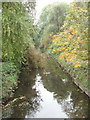
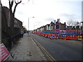
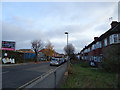
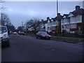
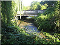
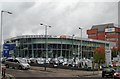
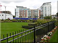
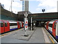
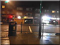
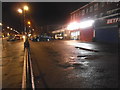
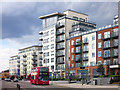
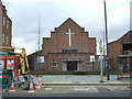
Photos of Colindale South Ward
Area Information
Colindale South Ward is a compact district covering just 1.5 square kilometres. It serves as a distinct neighbourhood within a larger borough, home to a population of 2,834 residents. This relatively small footprint means the area offers a contained local environment rather than a sprawling suburban sprawl. Living in Colindale South Ward involves navigating a community where density plays a significant role in daily access to amenities and local services. The ward is situated in England, forming part of the broader urban fabric that defines the North West London region. A prospective buyer must understand that this area supports over 1,800 people per square kilometre. That level of population density influences everything from parking availability to the character of nearby streets. You will find a mix of residential units designed to accommodate this specific number of inhabitants within a limited land area. The layout of Colindale South Ward reflects its status as an established ward with defined boundaries and administrative functions. Daily life here revolves around proximity to local infrastructure without the vast distances found in more expansive districts. Understanding the specific size of the ward helps you gauge how quickly you can walk to essential services or how busy local roads might be during peak hours. This data-driven view of the area provides a realistic foundation for evaluating your future home.
- Area Type
- District Borough Unitary Ward
- Area Size
- 1.5 km²
- Population
- 2834
- Population Density
- 1850 people/km²
Demographics
The community profile of Colindale South Ward reveals a distinct age demographic that shapes the local dynamism. With a median age of 70 years, the area is populated significantly by older residents. This statistical detail suggests a quiet, perhaps slower-paced neighbourhood compared to areas with younger families. The predominant age range is recorded as 'Age: Total', indicating a comprehensive age spread that culminates in this high median figure. Such an age profile often influences local shop hours, public transport demands, and the general noise levels on the streets of Colindale South Ward. Property ownership stands at 40% within the ward. This figure means that the majority of residents are renting or hold other forms of tenancy rather than owning their homes outright. You should expect a higher transient population than in owner-occupied enclaves. The household composition data is recorded generally under 'householdComposition: total', while accommodation types fall under 'accommodationType: total'. These broad classifications confirm that specific unit mixes are not detailed in current records, but the ownership percentage is a critical marker for stability. Deprivation and diversity metrics are listed as 'total' without further breakdown, which narrows the immediate statistical picture. Despite these high-level summaries, the reality of a median age of 70 suggests a community focused on retirement living or later-life settlement rather than early family formation. This demographic reality is central to understanding who lives in Colindale South Ward today.
Household Size
Accommodation Type
Tenure
Ethnic Group
Religion
Household Composition
Age
Household Deprivation
NS-SEC
Explore more demographic insights in this area
Go to Demographics tabPlanning
Planning Constraints
- Flood RiskPremium
- Ramsar Wetland SitesPremium
- Area of Outstanding Natural BeautyPremium
- Protected Nature ReservePremium
- Protected WoodlandPremium
- Crime RiskPremium