Area Overview for Centenary Ward
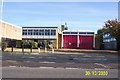
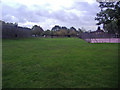
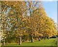
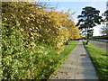
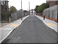
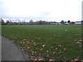
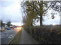
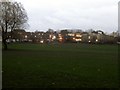
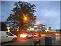
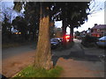
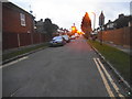
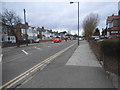
Photos of Centenary Ward
Area Information
Centenary Ward is a defined electoral ward in the London Borough of Harrow, situated within the Greater London area of England. This district covers 2.0 square kilometres and serves approximately 1,416 residents. The ward bears its name after the notable Centenary Park, which remains its primary landmark. Although created through recent boundary changes resulting from the Local Government Boundary Commission's 2022 electoral review, the ward has deeper roots having existed previously between 1978 and 2002 before being re-established. Life in Centenary Ward is characterised by a concise residential footprint that balances population density with established local infrastructure. You are looking at a neighbourhood where the total population is low compared to the rest of South East London, meaning fewer daily visitors and a quieter everyday environment. The area is currently represented by three Conservative councillors who were elected in the most recent polls. When you consider buying homes in Centenary Ward, you acquire property within a borough that underwent significant administrative restructuring to refine its electoral divisions. The compact size of the ward ensures that local issues impact the immediate community directly, fostering a tight-knit living arrangement despite the formal nature of its establishment as an electorate in the modern era.
- Area Type
- District Borough Unitary Ward
- Area Size
- 2.0 km²
- Population
- 1416
- Population Density
- 715 people/km²
Demographics
The community in Centenary Ward is defined by an older demographic profile. The median age for residents reaches 70, indicating that a majority of households are occupied by retirees or older working adults. There is no specific breakdown provided for age ranges in the available figures, but the central tendency clearly signals an ageing population. Home ownership stands at 68 per cent, meaning that most buyers in Centenary Ward purchase their current residence rather than renting. This high rate of ownership typically implies that the area is favoured by those seeking long-term stability in their housing situation. Household composition data does not differentiate between family units, singles, or multi-generational living in the specific dataset provided, so you must infer the dominant living style from the age profile. Your neighbours will likely consist of individuals who have lived in the area for decades, given the residence tenure associated with the high ownership rate. The ward does not display data on ethnicity or religious affiliation, suggesting a highly homogenous social fabric or simply that these specific census categories are not highlighted in the current overview. When you assess quality of life in Centenary Ward, the low population density of 715 people per square kilometre contributes significantly to a peaceful atmosphere suitable for older residents seeking less noise and congestion.
Household Size
Accommodation Type
Tenure
Ethnic Group
Religion
Household Composition
Age
Household Deprivation
NS-SEC
Explore more demographic insights in this area
Go to Demographics tabPlanning
Planning Constraints
- Flood RiskPremium
- Ramsar Wetland SitesPremium
- Area of Outstanding Natural BeautyPremium
- Protected Nature ReservePremium
- Protected WoodlandPremium
- Crime RiskPremium