Area Overview for BR7 6RW
Photos of BR7 6RW
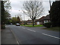
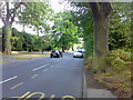
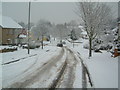
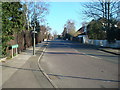
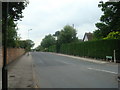
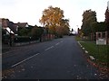
48 photos from this area
Area Information
Key information about the BR7 6RW including its size, population, and administrative classification.
- Area Type
- Postcode
- Area Size
- 3.2 hectares
- Population
- 1193
- Population Density
- 1057 people/km²
House Prices in BR7 6RW
28
Properties
£678,625
Average Sold Price
£250,000
Lowest Price
£1,250,000
Highest Price
Showing 28 properties
| Address | Type | Beds | Baths | Last Sale Price | Last Sale Date | |
|---|---|---|---|---|---|---|
| 77 Kevington Drive, Chislehurst, BR7 6RW | Detached | 4 | 3 | £940,000 | Aug 2025 | |
| 67 Kevington Drive, Chislehurst, BR7 6RW | Semi-detached | 4 | 2 | £963,000 | Jul 2024 | |
| 65 Kevington Drive, Chislehurst, BR7 6RW | Detached | 5 | 4 | £1,160,000 | Apr 2023 | |
| 85 Kevington Drive, Chislehurst, BR7 6RW | house | - | - | £802,653 | Jun 2022 | |
| 69 Kevington Drive, Chislehurst, BR7 6RW | Detached | 5 | 3 | £925,000 | Sep 2021 | |
| 107 Kevington Drive, Chislehurst, BR7 6RW | Detached | 4 | 3 | £1,250,000 | Feb 2021 | |
| 97 Kevington Drive, Chislehurst, BR7 6RW | Bungalow | 5 | 1 | £900,000 | Jan 2020 | |
| 57 Kevington Drive, Chislehurst, BR7 6RW | Detached | 4 | 3 | £790,000 | May 2018 | |
| 97A Kevington Drive, Chislehurst, BR7 6RW | Detached | 4 | 3 | £250,000 | Jul 2015 | |
| 71 Kevington Drive, Chislehurst, BR7 6RW | Bungalow | 3 | - | £470,100 | Oct 2013 |
Page 1 of 3
Energy Efficiency in BR7 6RW
Amenities
Schools
| Rank | School | Type | Entry gender | Ages |
|---|
Explore more schools in this area
Go to Schools tabDemographics
Household Size
Family (3-5 people)
most common
Accommodation Type
Houses
most common
Tenure
95
majority
Ethnic Group
White
most common
Religion
N/A
most common
Household Composition
N/A
most common
Age
47
median
Adults (30-64 years)
most common
Household Deprivation
N/A
with no deprivation
NS-SEC
51
in Lower managerial occupations
Explore more demographic insights in this area
Go to Demographics tabPlanning
Planning Constraints
- Flood RiskPremium
- Ramsar Wetland SitesPremium
- Area of Outstanding Natural BeautyPremium
- Protected Nature ReservePremium
- Protected WoodlandPremium