Area Overview for BR7 6NG
Photos of BR7 6NG
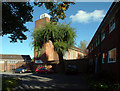
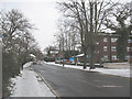
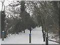
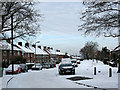
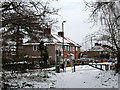
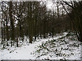
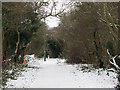
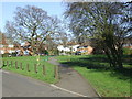
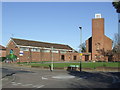
48 photos from this area
Area Information
Key information about the BR7 6NG including its size, population, and administrative classification.
- Area Type
- Postcode
- Area Size
- 8900 m²
- Population
- 2298
- Population Density
- 2279 people/km²
House Prices in BR7 6NG
18
Properties
£412,500
Average Sold Price
£82,500
Lowest Price
£715,000
Highest Price
Showing 18 properties
| Address | Type | Beds | Baths | Last Sale Price | Last Sale Date | |
|---|---|---|---|---|---|---|
| 3 Fosters Close, Chislehurst, BR7 6NG | Bungalow | - | - | £715,000 | Sep 2022 | |
| 4 Fosters Close, Chislehurst, BR7 6NG | Semi-detached | 3 | 1 | £465,000 | Jul 2019 | |
| 2 Fosters Close, Chislehurst, BR7 6NG | Bungalow | 2 | 1 | £507,500 | Jan 2018 | |
| 7 Fosters Close, Chislehurst, BR7 6NG | house | - | - | £527,500 | Oct 2017 | |
| 17 Fosters Close, Chislehurst, BR7 6NG | Semi-detached | 3 | 2 | £675,000 | Sep 2016 | |
| 15 Fosters Close, Chislehurst, BR7 6NG | Bungalow | - | - | £510,000 | Jan 2016 | |
| 16 Fosters Close, Chislehurst, BR7 6NG | Bungalow | - | - | £435,000 | Nov 2015 | |
| 14 Fosters Close, Chislehurst, BR7 6NG | Bungalow | 2 | - | £270,000 | Aug 2013 | |
| 11 Fosters Close, Chislehurst, BR7 6NG | house | - | - | £300,000 | Jul 2010 | |
| 5 Fosters Close, Chislehurst, BR7 6NG | Semi-detached | - | - | £347,500 | Mar 2007 |
Page 1 of 2
Energy Efficiency in BR7 6NG
Amenities
Schools
| Rank | School | Type | Entry gender | Ages |
|---|
Explore more schools in this area
Go to Schools tabDemographics
Household Size
Family (3-5 people)
most common
Accommodation Type
Houses
most common
Tenure
85
majority
Ethnic Group
White
most common
Religion
N/A
most common
Household Composition
N/A
most common
Age
47
median
Adults (30-64 years)
most common
Household Deprivation
N/A
with no deprivation
NS-SEC
56
in Lower managerial occupations
Explore more demographic insights in this area
Go to Demographics tabPlanning
Planning Constraints
- Flood RiskPremium
- Ramsar Wetland SitesPremium
- Area of Outstanding Natural BeautyPremium
- Protected Nature ReservePremium
- Protected WoodlandPremium