Area Overview for BR6 9SS
Photos of BR6 9SS
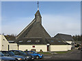
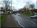
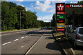
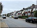
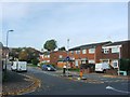
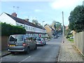
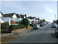
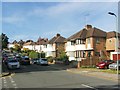
77 photos from this area
Area Information
Key information about the BR6 9SS including its size, population, and administrative classification.
- Area Type
- Postcode
- Area Size
- 4908 m²
- Population
- 1705
- Population Density
- 6548 people/km²
House Prices in BR6 9SS
16
Properties
£346,645
Average Sold Price
£82,500
Lowest Price
£530,000
Highest Price
Showing 16 properties
| Address | Type | Beds | Baths | Last Sale Price | Last Sale Date | |
|---|---|---|---|---|---|---|
| 5 Charing Close, Orpington, BR6 9SS | Terraced | 3 | 1 | £520,000 | May 2025 | |
| 10 Charing Close, Orpington, BR6 9SS | Terraced | 3 | 1 | £450,000 | Mar 2025 | |
| 1 Charing Close, Orpington, BR6 9SS | Terraced | 3 | 1 | £520,000 | Oct 2024 | |
| 11 Charing Close, Orpington, BR6 9SS | Terraced | 4 | - | £530,000 | Nov 2022 | |
| 15 Charing Close, Orpington, BR6 9SS | Terraced | 3 | - | £386,000 | Jan 2017 | |
| 9 Charing Close, Orpington, BR6 9SS | Terraced | 4 | - | £419,000 | Sep 2016 | |
| 7 Charing Close, Orpington, BR6 9SS | house | - | - | £250,000 | Oct 2010 | |
| 13 Charing Close, Orpington, BR6 9SS | Terraced | - | - | £219,000 | May 2004 | |
| 3 Charing Close, Orpington, BR6 9SS | Retail | 3 | 2 | £89,950 | Sep 1997 | |
| 4 Charing Close, Orpington, BR6 9SS | Terraced | - | - | £82,500 | Apr 1996 |
Page 1 of 2
Energy Efficiency in BR6 9SS
Amenities
Schools
| Rank | School | Type | Entry gender | Ages |
|---|
Explore more schools in this area
Go to Schools tabDemographics
Household Size
Family (3-5 people)
most common
Accommodation Type
Houses
most common
Tenure
70
majority
Ethnic Group
White
most common
Religion
N/A
most common
Household Composition
N/A
most common
Age
47
median
Adults (30-64 years)
most common
Household Deprivation
N/A
with no deprivation
NS-SEC
43
in Lower managerial occupations
Explore more demographic insights in this area
Go to Demographics tabPlanning
Planning Constraints
- Flood RiskPremium
- Ramsar Wetland SitesPremium
- Area of Outstanding Natural BeautyPremium
- Protected Nature ReservePremium
- Protected WoodlandPremium