Area Overview for BR6 9PY
Photos of BR6 9PY
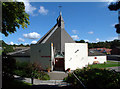
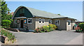
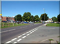
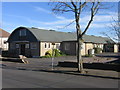
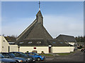
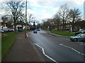
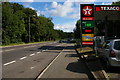
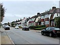
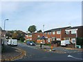
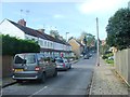
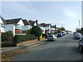
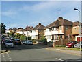
77 photos from this area
Area Information
Key information about the BR6 9PY including its size, population, and administrative classification.
- Area Type
- Postcode
- Area Size
- 7138 m²
- Population
- Not available
- Population Density
- Not available
House Prices in BR6 9PY
15
Properties
£358,870
Average Sold Price
£109,000
Lowest Price
£660,000
Highest Price
Showing 15 properties
| Address | Type | Beds | Baths | Last Sale Price | Last Sale Date | |
|---|---|---|---|---|---|---|
| 15 Ashbourne Rise, Orpington, BR6 9PY | Semi-detached | 3 | 1 | £625,250 | Dec 2022 | |
| 7 Ashbourne Rise, Orpington, BR6 9PY | Semi-detached | 4 | 1 | £660,000 | Aug 2022 | |
| 11 Ashbourne Rise, Orpington, BR6 9PY | Semi-detached | 3 | 1 | £582,000 | Jun 2020 | |
| 31 Ashbourne Rise, Orpington, BR6 9PY | Semi-detached | 4 | 3 | £305,000 | Aug 2011 | |
| 29 Ashbourne Rise, Orpington, BR6 9PY | house | - | - | £275,000 | Sep 2010 | |
| 9 Ashbourne Rise, Orpington, BR6 9PY | Semi-detached | - | - | £314,000 | Sep 2006 | |
| 13 Ashbourne Rise, Orpington, BR6 9PY | Semi-detached | - | - | £249,950 | Nov 2005 | |
| 21 Ashbourne Rise, Orpington, BR6 9PY | Semi-detached | - | - | £260,500 | Jul 2005 | |
| 19 Ashbourne Rise, Orpington, BR6 9PY | Semi-detached | - | - | £208,000 | Dec 2001 | |
| 33 Ashbourne Rise, Orpington, BR6 9PY | Semi-detached | - | - | £109,000 | Dec 1996 |
Page 1 of 2
Energy Efficiency in BR6 9PY
Amenities
Schools
| Rank | School | Type | Entry gender | Ages |
|---|
Explore more schools in this area
Go to Schools tabDemographics
Household Size
Family (3-5 people)
most common
Accommodation Type
Houses
most common
Tenure
92
majority
Ethnic Group
White
most common
Religion
N/A
most common
Household Composition
N/A
most common
Age
47
median
Adults (30-64 years)
most common
Household Deprivation
N/A
with no deprivation
NS-SEC
47
in Lower managerial occupations
Explore more demographic insights in this area
Go to Demographics tabPlanning
Planning Constraints
- Flood RiskPremium
- Ramsar Wetland SitesPremium
- Area of Outstanding Natural BeautyPremium
- Protected Nature ReservePremium
- Protected WoodlandPremium