Area Overview for BR6 9DS
Photos of BR6 9DS
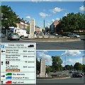
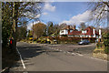
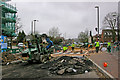
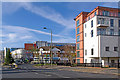
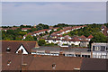
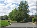
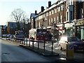
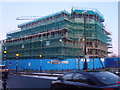
94 photos from this area
Area Information
Key information about the BR6 9DS including its size, population, and administrative classification.
- Area Type
- Postcode
- Area Size
- 2.4 hectares
- Population
- Not available
- Population Density
- Not available
House Prices in BR6 9DS
34
Properties
£588,810
Average Sold Price
£135,000
Lowest Price
£1,151,000
Highest Price
Showing 34 properties
| Address | Type | Beds | Baths | Last Sale Price | Last Sale Date | |
|---|---|---|---|---|---|---|
| 2 Goddington Lane, Orpington, BR6 9DS | Semi-detached | 3 | 1 | £725,000 | Feb 2024 | |
| 4 Goddington Lane, Orpington, BR6 9DS | Semi-detached | 4 | 2 | £822,000 | Nov 2023 | |
| 14 Goddington Lane, Orpington, BR6 9DS | house | - | - | £925,000 | Jun 2021 | |
| 28 Goddington Lane, Orpington, BR6 9DS | Detached | 5 | 3 | £1,151,000 | Dec 2020 | |
| 38 Goddington Lane, Orpington, BR6 9DS | house | - | - | £825,000 | Nov 2020 | |
| 26 Goddington Lane, Orpington, BR6 9DS | Detached | 5 | 3 | £877,500 | Nov 2020 | |
| 50 Goddington Lane, Orpington, BR6 9DS | Semi-detached | 5 | 2 | £780,000 | Jan 2020 | |
| 60 Goddington Lane, Orpington, BR6 9DS | Detached | 4 | 1 | £722,500 | Feb 2017 | |
| 36 Goddington Lane, Orpington, BR6 9DS | house | - | - | £595,000 | Oct 2016 | |
| 54 Goddington Lane, Orpington, BR6 9DS | Detached | 4 | - | £655,000 | Apr 2015 |
Page 1 of 4
Energy Efficiency in BR6 9DS
Amenities
Schools
| Rank | School | Type | Entry gender | Ages |
|---|
Explore more schools in this area
Go to Schools tabDemographics
Household Size
Family (3-5 people)
most common
Accommodation Type
Houses
most common
Tenure
94
majority
Ethnic Group
White
most common
Religion
N/A
most common
Household Composition
N/A
most common
Age
47
median
Adults (30-64 years)
most common
Household Deprivation
N/A
with no deprivation
NS-SEC
47
in Lower managerial occupations
Explore more demographic insights in this area
Go to Demographics tabPlanning
Planning Constraints
- Flood RiskPremium
- Ramsar Wetland SitesPremium
- Area of Outstanding Natural BeautyPremium
- Protected Nature ReservePremium
- Protected WoodlandPremium