Area Overview for BR6 8LU
Photos of BR6 8LU
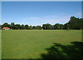


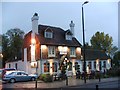
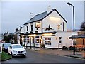

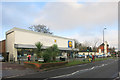
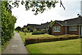
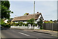
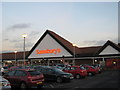
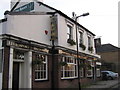
55 photos from this area
Area Information
Key information about the BR6 8LU including its size, population, and administrative classification.
- Area Type
- Postcode
- Area Size
- 2.4 hectares
- Population
- 1708
- Population Density
- 1686 people/km²
House Prices in BR6 8LU
20
Properties
£1,542,361
Average Sold Price
£655,000
Lowest Price
£2,900,000
Highest Price
Showing 20 properties
| Address | Type | Beds | Baths | Last Sale Price | Last Sale Date | |
|---|---|---|---|---|---|---|
| Draycott, Hazel Grove, Orpington, BR6 8LU | Detached | 5 | 2 | £2,900,000 | Mar 2022 | |
| Marchurst, Hazel Grove, Orpington, BR6 8LU | house | - | - | £1,700,000 | Apr 2021 | |
| Moonrakers, Hazel Grove, Orpington, BR6 8LU | house | - | - | £1,280,000 | Feb 2021 | |
| Briarfield, Hazel Grove, Orpington, BR6 8LU | Detached | 4 | 2 | £1,385,000 | Jan 2021 | |
| Westfield, Hazel Grove, Orpington, BR6 8LU | Detached | 5 | 5 | £2,300,000 | Jul 2020 | |
| Small Timbers, Hazel Grove, Orpington, BR6 8LU | Detached | 5 | - | £2,300,000 | Oct 2019 | |
| Pucks Cottage, Hazel Grove, Orpington, BR6 8LU | Detached | 5 | 2 | £1,385,000 | Feb 2019 | |
| Keymer, Hazel Grove, Orpington, BR6 8LU | house | 5 | - | £1,915,000 | Jul 2018 | |
| Bracken, Hazel Grove, Orpington, BR6 8LU | Detached | 5 | 5 | £1,900,000 | Oct 2017 | |
| The Chase, Hazel Grove, Orpington, BR6 8LU | Detached | 4 | 5 | £1,690,000 | Dec 2016 |
Page 1 of 2
Energy Efficiency in BR6 8LU
Amenities
Schools
| Rank | School | Type | Entry gender | Ages |
|---|
Explore more schools in this area
Go to Schools tabDemographics
Household Size
Family (3-5 people)
most common
Accommodation Type
Houses
most common
Tenure
87
majority
Ethnic Group
White
most common
Religion
N/A
most common
Household Composition
N/A
most common
Age
47
median
Adults (30-64 years)
most common
Household Deprivation
N/A
with no deprivation
NS-SEC
47
in Lower managerial occupations
Explore more demographic insights in this area
Go to Demographics tabPlanning
Planning Constraints
- Flood RiskPremium
- Ramsar Wetland SitesPremium
- Area of Outstanding Natural BeautyPremium
- Protected Nature ReservePremium
- Protected WoodlandPremium