Area Overview for BR6 8AG
Photos of BR6 8AG
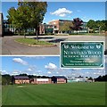
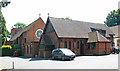
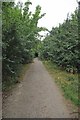
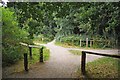
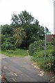
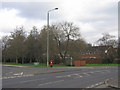
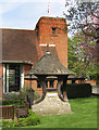
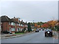
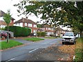
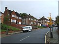
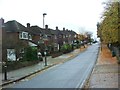
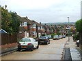
82 photos from this area
Area Information
Key information about the BR6 8AG including its size, population, and administrative classification.
- Area Type
- Postcode
- Area Size
- 1.8 hectares
- Population
- Not available
- Population Density
- Not available
House Prices in BR6 8AG
30
Properties
£438,647
Average Sold Price
£159,950
Lowest Price
£835,000
Highest Price
Showing 30 properties
| Address | Type | Beds | Baths | Last Sale Price | Last Sale Date | |
|---|---|---|---|---|---|---|
| 95 The Ridge, Orpington, BR6 8AG | Semi-detached | 4 | 1 | £771,400 | Jun 2025 | |
| 101 The Ridge, Orpington, BR6 8AG | house | 3 | 1 | £835,000 | Sep 2022 | |
| 52 The Ridge, Orpington, BR6 8AG | house | 4 | - | £573,000 | Nov 2015 | |
| 105 The Ridge, Orpington, BR6 8AG | house | - | - | £454,000 | Nov 2012 | |
| 87 The Ridge, Orpington, BR6 8AG | Semi-detached | - | - | £180,000 | Jul 2011 | |
| 97 The Ridge, Orpington, BR6 8AG | Semi-detached | - | - | £475,000 | Jul 2008 | |
| 71 The Ridge, Orpington, BR6 8AG | Detached | - | - | £520,000 | Mar 2008 | |
| 69 The Ridge, Orpington, BR6 8AG | Detached | - | - | £445,000 | Jan 2007 | |
| 50 The Ridge, Orpington, BR6 8AG | Detached | - | - | £485,000 | Jun 2006 | |
| 91 The Ridge, Orpington, BR6 8AG | Semi-detached | - | - | £335,000 | Oct 2005 |
Page 1 of 3
Energy Efficiency in BR6 8AG
Amenities
Schools
| Rank | School | Type | Entry gender | Ages |
|---|
Explore more schools in this area
Go to Schools tabDemographics
Household Size
Family (3-5 people)
most common
Accommodation Type
Houses
most common
Tenure
95
majority
Ethnic Group
White
most common
Religion
N/A
most common
Household Composition
N/A
most common
Age
47
median
Adults (30-64 years)
most common
Household Deprivation
N/A
with no deprivation
NS-SEC
51
in Lower managerial occupations
Explore more demographic insights in this area
Go to Demographics tabPlanning
Planning Constraints
- Flood RiskPremium
- Ramsar Wetland SitesPremium
- Area of Outstanding Natural BeautyPremium
- Protected Nature ReservePremium
- Protected WoodlandPremium