Area Overview for BR6 7RP
Photos of BR6 7RP
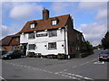

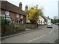
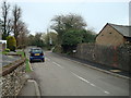

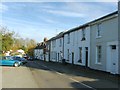
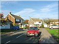

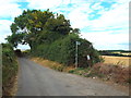

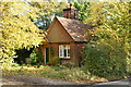
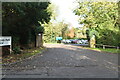
47 photos from this area
Area Information
Key information about the BR6 7RP including its size, population, and administrative classification.
- Area Type
- Postcode
- Area Size
- 26.3 hectares
- Population
- 1627
- Population Density
- 1465 people/km²
House Prices in BR6 7RP
16
Properties
£640,278
Average Sold Price
£245,000
Lowest Price
£1,000,000
Highest Price
Showing 16 properties
| Address | Type | Beds | Baths | Last Sale Price | Last Sale Date | |
|---|---|---|---|---|---|---|
| Pateley, Chelsfield Lane, Orpington, BR6 7RP | Bungalow | 6 | 2 | £1,000,000 | Sep 2024 | |
| Egremont, Chelsfield Lane, Orpington, BR6 7RP | Bungalow | 2 | 1 | £650,000 | Sep 2024 | |
| Powick, Chelsfield Lane, Orpington, BR6 7RP | Bungalow | 3 | 3 | £775,000 | Sep 2015 | |
| Penholme, Chelsfield Lane, Orpington, BR6 7RP | Semi-detached | 3 | 2 | £540,000 | Jan 2015 | |
| Woodland House, Chelsfield Lane, Orpington, BR6 7RP | Detached | 4 | - | £740,000 | Jul 2014 | |
| Holly Cottage, Chelsfield Lane, Orpington, BR6 7RP | Detached | 4 | - | £620,000 | Aug 2013 | |
| Ridge House, Chelsfield Lane, Orpington, BR6 7RP | house | - | - | £707,500 | Jun 2010 | |
| Wayside, Chelsfield Lane, Orpington, BR6 7RP | Bungalow | 4 | 2 | £485,000 | Nov 2009 | |
| Speedwell Patch, Chelsfield Lane, Orpington, BR6 7RP | Detached | - | - | £245,000 | May 1995 | |
| Georgewood, Chelsfield Lane, Orpington, BR6 7RP | house | - | - | - | - |
Page 1 of 2
Energy Efficiency in BR6 7RP
Amenities
Schools
| Rank | School | Type | Entry gender | Ages |
|---|
Explore more schools in this area
Go to Schools tabDemographics
Household Size
Family (3-5 people)
most common
Accommodation Type
Houses
most common
Tenure
77
majority
Ethnic Group
White
most common
Religion
N/A
most common
Household Composition
N/A
most common
Age
47
median
Adults (30-64 years)
most common
Household Deprivation
N/A
with no deprivation
NS-SEC
42
in Lower managerial occupations
Explore more demographic insights in this area
Go to Demographics tabPlanning
Planning Constraints
- Flood RiskPremium
- Ramsar Wetland SitesPremium
- Area of Outstanding Natural BeautyPremium
- Protected Nature ReservePremium
- Protected WoodlandPremium