Area Overview for BR6 7DY
Photos of BR6 7DY
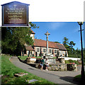
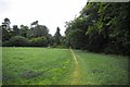
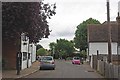
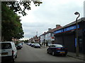
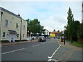
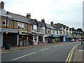
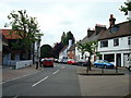
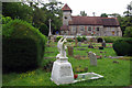
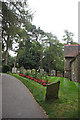
97 photos from this area
Area Information
Key information about the BR6 7DY including its size, population, and administrative classification.
- Area Type
- Postcode
- Area Size
- 4950 m²
- Population
- 1747
- Population Density
- 1263 people/km²
House Prices in BR6 7DY
18
Properties
£284,000
Average Sold Price
£81,000
Lowest Price
£445,000
Highest Price
Showing 18 properties
| Address | Type | Beds | Baths | Last Sale Price | Last Sale Date | |
|---|---|---|---|---|---|---|
| 71 Gladstone Road, Orpington, BR6 7DY | Semi-detached | 3 | 1 | £440,000 | Aug 2019 | |
| 56 Gladstone Road, Orpington, BR6 7DY | Terraced | 3 | 1 | £445,000 | Aug 2016 | |
| 63 Gladstone Road, Orpington, BR6 7DY | house | - | - | £299,995 | Nov 2013 | |
| 64 Gladstone Road, Orpington, BR6 7DY | house | 4 | - | £410,000 | Jul 2013 | |
| 58 Gladstone Road, Orpington, BR6 7DY | Terraced | - | - | £250,000 | Sep 2009 | |
| 77 Gladstone Road, Orpington, BR6 7DY | Semi-detached | 3 | 3 | £240,000 | Jul 2009 | |
| 62A Gladstone Road, Orpington, BR6 7DY | Semi-detached | - | - | £335,000 | Mar 2008 | |
| 62 Gladstone Road, Orpington, BR6 7DY | Semi-detached | 3 | 1 | £335,000 | Nov 2007 | |
| 73 Gladstone Road, Orpington, BR6 7DY | Semi-detached | - | - | £245,000 | Jun 2007 | |
| 61 Gladstone Road, Orpington, BR6 7DY | Terraced | 2 | 1 | £238,000 | Dec 2005 |
Page 1 of 2
Energy Efficiency in BR6 7DY
Amenities
Schools
| Rank | School | Type | Entry gender | Ages |
|---|
Explore more schools in this area
Go to Schools tabDemographics
Household Size
One person
most common
Accommodation Type
Houses
most common
Tenure
79
majority
Ethnic Group
White
most common
Religion
N/A
most common
Household Composition
N/A
most common
Age
47
median
Adults (30-64 years)
most common
Household Deprivation
N/A
with no deprivation
NS-SEC
41
in Lower managerial occupations
Explore more demographic insights in this area
Go to Demographics tabPlanning
Planning Constraints
- Flood RiskPremium
- Ramsar Wetland SitesPremium
- Area of Outstanding Natural BeautyPremium
- Protected Nature ReservePremium
- Protected WoodlandPremium