Area Overview for BR6 7BE
Photos of BR6 7BE
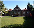
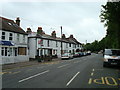
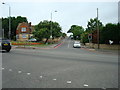
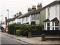
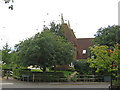
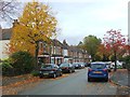
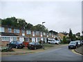
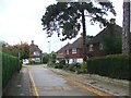
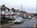
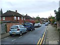
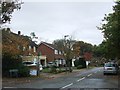
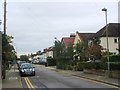
60 photos from this area
Area Information
Key information about the BR6 7BE including its size, population, and administrative classification.
- Area Type
- Postcode
- Area Size
- 2704 m²
- Population
- Not available
- Population Density
- Not available
House Prices in BR6 7BE
10
Properties
£320,133
Average Sold Price
£81,500
Lowest Price
£485,000
Highest Price
Showing 10 properties
| Address | Type | Beds | Baths | Last Sale Price | Last Sale Date | |
|---|---|---|---|---|---|---|
| 2 Elgal Close, Orpington, BR6 7BE | Detached | 2 | 1 | £446,000 | Dec 2024 | |
| 1 Elgal Close, Orpington, BR6 7BE | Terraced | 2 | - | £485,000 | Jun 2024 | |
| 8 Elgal Close, Orpington, BR6 7BE | Terraced | 2 | 1 | £445,000 | Aug 2023 | |
| 7 Elgal Close, Orpington, BR6 7BE | house | - | - | £434,750 | Sep 2021 | |
| 11 Elgal Close, Orpington, BR6 7BE | Terraced | - | - | £250,000 | Nov 2014 | |
| 4 Elgal Close, Orpington, BR6 7BE | house | - | - | £240,000 | May 2010 | |
| 9 Elgal Close, Orpington, BR6 7BE | Terraced | 2 | 1 | £249,950 | Feb 2008 | |
| 6 Elgal Close, Orpington, BR6 7BE | Terraced | 2 | 1 | £249,000 | Aug 2007 | |
| 5 Elgal Close, Orpington, BR6 7BE | Terraced | - | - | £81,500 | Aug 1997 | |
| 3 Elgal Close, Orpington, BR6 7BE | Terraced | - | - | - | - |
Energy Efficiency in BR6 7BE
Amenities
Schools
| Rank | School | Type | Entry gender | Ages |
|---|
Explore more schools in this area
Go to Schools tabDemographics
Household Size
One person
most common
Accommodation Type
Houses
most common
Tenure
39
majority
Ethnic Group
White
most common
Religion
N/A
most common
Household Composition
N/A
most common
Age
47
median
Adults (30-64 years)
most common
Household Deprivation
N/A
with no deprivation
NS-SEC
30
in Lower managerial occupations
Explore more demographic insights in this area
Go to Demographics tabPlanning
Planning Constraints
- Flood RiskPremium
- Ramsar Wetland SitesPremium
- Area of Outstanding Natural BeautyPremium
- Protected Nature ReservePremium
- Protected WoodlandPremium