Area Overview for BR6 7AF
Photos of BR6 7AF
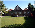
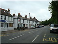
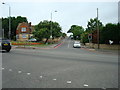
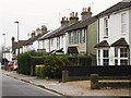
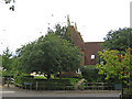
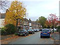
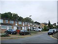
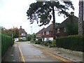
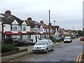
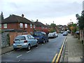
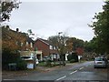
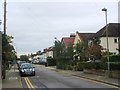
60 photos from this area
Area Information
Key information about the BR6 7AF including its size, population, and administrative classification.
- Area Type
- Postcode
- Area Size
- 9409 m²
- Population
- 2264
- Population Density
- 1232 people/km²
House Prices in BR6 7AF
30
Properties
£311,970
Average Sold Price
£95,500
Lowest Price
£675,000
Highest Price
Showing 30 properties
| Address | Type | Beds | Baths | Last Sale Price | Last Sale Date | |
|---|---|---|---|---|---|---|
| 37 Bassetts Way, Orpington, BR6 7AF | Semi-detached | 4 | 2 | £670,000 | Feb 2025 | |
| 64 Bassetts Way, Orpington, BR6 7AF | Semi-detached | 3 | 1 | £496,000 | Jun 2023 | |
| 31 Bassetts Way, Orpington, BR6 7AF | Semi-detached | 4 | 1 | £675,000 | Mar 2023 | |
| 40 Bassetts Way, Orpington, BR6 7AF | Semi-detached | 3 | 1 | £551,300 | Jan 2023 | |
| 23 Bassetts Way, Orpington, BR6 7AF | Semi-detached | 3 | 1 | £610,000 | Dec 2022 | |
| 68 Bassetts Way, Orpington, BR6 7AF | Semi-detached | 3 | 1 | £510,000 | Jun 2021 | |
| 45 Bassetts Way, Orpington, BR6 7AF | Semi-detached | 3 | 1 | £250,000 | Jun 2021 | |
| 38 Bassetts Way, Orpington, BR6 7AF | house | - | - | £480,000 | Dec 2020 | |
| 43 Bassetts Way, Orpington, BR6 7AF | Semi-detached | 3 | 2 | £270,000 | Jul 2010 | |
| 42 Bassetts Way, Orpington, BR6 7AF | Semi-detached | - | - | £297,000 | Sep 2007 |
Page 1 of 3
Energy Efficiency in BR6 7AF
Amenities
Schools
| Rank | School | Type | Entry gender | Ages |
|---|
Explore more schools in this area
Go to Schools tabDemographics
Household Size
Family (3-5 people)
most common
Accommodation Type
Houses
most common
Tenure
83
majority
Ethnic Group
White
most common
Religion
N/A
most common
Household Composition
N/A
most common
Age
47
median
Adults (30-64 years)
most common
Household Deprivation
N/A
with no deprivation
NS-SEC
48
in Lower managerial occupations
Explore more demographic insights in this area
Go to Demographics tabPlanning
Planning Constraints
- Flood RiskPremium
- Ramsar Wetland SitesPremium
- Area of Outstanding Natural BeautyPremium
- Protected Nature ReservePremium
- Protected WoodlandPremium