Area Overview for BR6 7AD
Photos of BR6 7AD
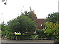
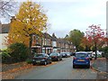
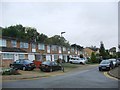
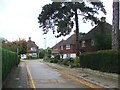
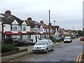
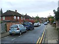
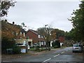
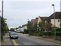
60 photos from this area
Area Information
Key information about the BR6 7AD including its size, population, and administrative classification.
- Area Type
- Postcode
- Area Size
- 8741 m²
- Population
- 2264
- Population Density
- 1232 people/km²
House Prices in BR6 7AD
29
Properties
£358,500
Average Sold Price
£135,000
Lowest Price
£700,000
Highest Price
Showing 29 properties
| Address | Type | Beds | Baths | Last Sale Price | Last Sale Date | |
|---|---|---|---|---|---|---|
| 18 Claremont Close, Orpington, BR6 7AD | Detached | 4 | 3 | £696,500 | Jul 2024 | |
| 11 Claremont Close, Orpington, BR6 7AD | Terraced | 3 | 1 | £475,000 | Dec 2023 | |
| 19 Claremont Close, Orpington, BR6 7AD | Retail | 3 | 1 | £584,000 | Sep 2022 | |
| 27 Claremont Close, Orpington, BR6 7AD | house | 3 | 2 | £700,000 | Sep 2022 | |
| 20 Claremont Close, Orpington, BR6 7AD | house | 3 | 2 | £573,000 | Dec 2019 | |
| 25 Claremont Close, Orpington, BR6 7AD | Detached | 3 | 2 | £541,000 | Mar 2018 | |
| 6 Claremont Close, Orpington, BR6 7AD | house | - | - | £408,000 | Apr 2017 | |
| 31 Claremont Close, Orpington, BR6 7AD | Detached | 4 | 2 | £480,000 | Nov 2015 | |
| 23 Claremont Close, Orpington, BR6 7AD | Detached | 3 | - | £350,000 | Jan 2014 | |
| 13 Claremont Close, Orpington, BR6 7AD | house | - | - | £290,000 | Jan 2014 |
Page 1 of 3
Energy Efficiency in BR6 7AD
Amenities
Schools
| Rank | School | Type | Entry gender | Ages |
|---|
Explore more schools in this area
Go to Schools tabDemographics
Household Size
Family (3-5 people)
most common
Accommodation Type
Houses
most common
Tenure
83
majority
Ethnic Group
White
most common
Religion
N/A
most common
Household Composition
N/A
most common
Age
47
median
Adults (30-64 years)
most common
Household Deprivation
N/A
with no deprivation
NS-SEC
48
in Lower managerial occupations
Explore more demographic insights in this area
Go to Demographics tabPlanning
Planning Constraints
- Flood RiskPremium
- Ramsar Wetland SitesPremium
- Area of Outstanding Natural BeautyPremium
- Protected Nature ReservePremium
- Protected WoodlandPremium