Area Overview for BR6 6DF
Photos of BR6 6DF
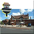
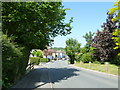
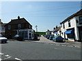
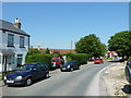

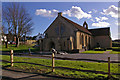
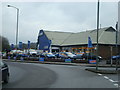
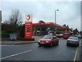
100 photos from this area
Area Information
Key information about the BR6 6DF including its size, population, and administrative classification.
- Area Type
- Postcode
- Area Size
- 1.9 hectares
- Population
- Not available
- Population Density
- Not available
House Prices in BR6 6DF
27
Properties
£460,971
Average Sold Price
£142,500
Lowest Price
£810,000
Highest Price
Showing 27 properties
| Address | Type | Beds | Baths | Last Sale Price | Last Sale Date | |
|---|---|---|---|---|---|---|
| 45 Glentrammon Road, Orpington, BR6 6DF | Semi-detached | 3 | 1 | £580,000 | Aug 2025 | |
| 61 Glentrammon Road, Orpington, BR6 6DF | Detached | 4 | 2 | £810,000 | Sep 2024 | |
| 55 Glentrammon Road, Orpington, BR6 6DF | Detached | 3 | 1 | £690,000 | Feb 2024 | |
| 50 Glentrammon Road, Orpington, BR6 6DF | Bungalow | - | - | £575,000 | Jun 2021 | |
| 33 Glentrammon Road, Orpington, BR6 6DF | Bungalow | 2 | 1 | £450,000 | Aug 2019 | |
| 38 Glentrammon Road, Orpington, BR6 6DF | Detached | 4 | 3 | £765,000 | Jul 2019 | |
| 30 Glentrammon Road, Orpington, BR6 6DF | Semi-detached | 3 | 1 | £571,000 | Sep 2018 | |
| 41 Glentrammon Road, Orpington, BR6 6DF | Detached | 4 | 2 | £650,000 | Jul 2018 | |
| 28 Glentrammon Road, Orpington, BR6 6DF | Detached | 4 | - | £580,000 | Aug 2015 | |
| 53 Glentrammon Road, Orpington, BR6 6DF | Semi-detached | - | - | £381,000 | Jun 2012 |
Page 1 of 3
Energy Efficiency in BR6 6DF
Amenities
Schools
| Rank | School | Type | Entry gender | Ages |
|---|
Explore more schools in this area
Go to Schools tabDemographics
Household Size
Family (3-5 people)
most common
Accommodation Type
Houses
most common
Tenure
80
majority
Ethnic Group
White
most common
Religion
N/A
most common
Household Composition
N/A
most common
Age
47
median
Adults (30-64 years)
most common
Household Deprivation
N/A
with no deprivation
NS-SEC
46
in Lower managerial occupations
Explore more demographic insights in this area
Go to Demographics tabPlanning
Planning Constraints
- Flood RiskPremium
- Ramsar Wetland SitesPremium
- Area of Outstanding Natural BeautyPremium
- Protected Nature ReservePremium
- Protected WoodlandPremium