Area Overview for BR6 0ST
Photos of BR6 0ST
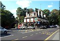
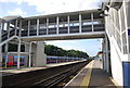
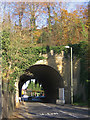
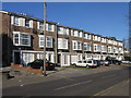

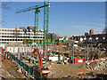
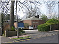
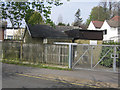
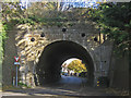
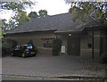
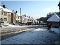
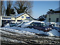
100 photos from this area
Area Information
Key information about the BR6 0ST including its size, population, and administrative classification.
- Area Type
- Postcode
- Area Size
- 1.6 hectares
- Population
- Not available
- Population Density
- Not available
House Prices in BR6 0ST
15
Properties
£281,875
Average Sold Price
£88,000
Lowest Price
£520,000
Highest Price
Showing 15 properties
| Address | Type | Beds | Baths | Last Sale Price | Last Sale Date | |
|---|---|---|---|---|---|---|
| 9 Station Approach, Orpington, BR6 0ST | house | - | - | £468,000 | Jun 2021 | |
| 5 Station Approach, Orpington, BR6 0ST | Semi-detached | 3 | 2 | £520,000 | Mar 2020 | |
| 6 Station Approach, Orpington, BR6 0ST | house | 3 | - | £450,000 | Apr 2016 | |
| 7 Station Approach, Orpington, BR6 0ST | Semi-detached | 3 | - | £169,000 | Jan 2009 | |
| 4 Station Approach, Orpington, BR6 0ST | Semi-detached | 3 | 1 | £230,000 | May 2004 | |
| 3 Station Approach, Orpington, BR6 0ST | Semi-detached | 3 | 1 | £191,500 | Mar 2004 | |
| 10 Station Approach, Orpington, BR6 0ST | Semi-detached | 3 | 1 | £138,500 | Jul 2001 | |
| 12 Station Approach, Orpington, BR6 0ST | Semi-detached | - | - | £88,000 | Aug 1997 | |
| 11 Station Approach, Orpington, BR6 0ST | Semi-detached | 3 | 1 | - | - | |
| Crown Garage, 13 Station Approach, Orpington, BR6 0ST | office_workshop | - | - | - | - |
Page 1 of 2
Energy Efficiency in BR6 0ST
Amenities
Schools
| Rank | School | Type | Entry gender | Ages |
|---|
Explore more schools in this area
Go to Schools tabDemographics
Household Size
One person
most common
Accommodation Type
Flats
most common
Tenure
56
majority
Ethnic Group
White
most common
Religion
N/A
most common
Household Composition
N/A
most common
Age
47
median
Adults (30-64 years)
most common
Household Deprivation
N/A
with no deprivation
NS-SEC
49
in Lower managerial occupations
Explore more demographic insights in this area
Go to Demographics tabPlanning
Planning Constraints
- Flood RiskPremium
- Ramsar Wetland SitesPremium
- Area of Outstanding Natural BeautyPremium
- Protected Nature ReservePremium
- Protected WoodlandPremium