Area Overview for BR6 0RL
Photos of BR6 0RL
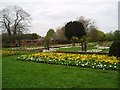
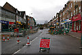
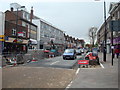
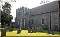
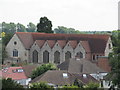
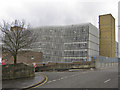
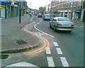
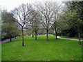
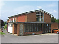
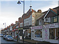
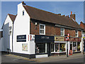
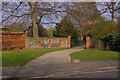
100 photos from this area
Area Information
Key information about the BR6 0RL including its size, population, and administrative classification.
- Area Type
- Postcode
- Area Size
- 6137 m²
- Population
- 1617
- Population Density
- 4380 people/km²
House Prices in BR6 0RL
21
Properties
£323,125
Average Sold Price
£205,000
Lowest Price
£490,000
Highest Price
Showing 21 properties
| Address | Type | Beds | Baths | Last Sale Price | Last Sale Date | |
|---|---|---|---|---|---|---|
| 75 Homefield Rise, Orpington, BR6 0RL | house | - | - | £375,000 | Dec 2025 | |
| 77 Homefield Rise, Orpington, BR6 0RL | Terraced | 3 | 2 | £490,000 | Aug 2025 | |
| 57 Homefield Rise, Orpington, BR6 0RL | house | - | - | £230,000 | Feb 2022 | |
| 49 Homefield Rise, Orpington, BR6 0RL | Terraced | 3 | 1 | £375,000 | Mar 2021 | |
| 51 Homefield Rise, Orpington, BR6 0RL | house | - | - | £295,000 | Feb 2018 | |
| 55 Homefield Rise, Orpington, BR6 0RL | Terraced | 3 | 1 | £340,000 | Feb 2017 | |
| 81 Homefield Rise, Orpington, BR6 0RL | Detached | 3 | 2 | £275,000 | Jul 2010 | |
| 79 Homefield Rise, Orpington, BR6 0RL | Semi-detached | 3 | 1 | £205,000 | Nov 2009 | |
| 65 Homefield Rise, Orpington, BR6 0RL | Flat | 1 | 1 | - | - | |
| 41 Homefield Rise, Orpington, BR6 0RL | Terraced | 3 | - | - | - |
Page 1 of 3
Energy Efficiency in BR6 0RL
Amenities
Schools
| Rank | School | Type | Entry gender | Ages |
|---|
Explore more schools in this area
Go to Schools tabDemographics
Household Size
Family (3-5 people)
most common
Accommodation Type
Houses
most common
Tenure
73
majority
Ethnic Group
White
most common
Religion
N/A
most common
Household Composition
N/A
most common
Age
47
median
Adults (30-64 years)
most common
Household Deprivation
N/A
with no deprivation
NS-SEC
37
in Lower managerial occupations
Explore more demographic insights in this area
Go to Demographics tabPlanning
Planning Constraints
- Flood RiskPremium
- Ramsar Wetland SitesPremium
- Area of Outstanding Natural BeautyPremium
- Protected Nature ReservePremium
- Protected WoodlandPremium