Area Overview for BR6 0QW
Photos of BR6 0QW
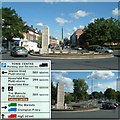
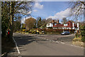
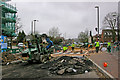
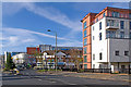
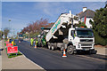
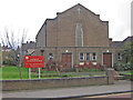
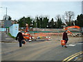
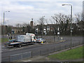
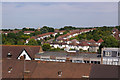
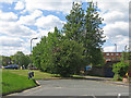
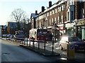
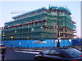
94 photos from this area
Area Information
Key information about the BR6 0QW including its size, population, and administrative classification.
- Area Type
- Postcode
- Area Size
- 1.7 hectares
- Population
- 1560
- Population Density
- 3346 people/km²
House Prices in BR6 0QW
23
Properties
£406,664
Average Sold Price
£165,000
Lowest Price
£747,500
Highest Price
Showing 23 properties
| Address | Type | Beds | Baths | Last Sale Price | Last Sale Date | |
|---|---|---|---|---|---|---|
| 128 Spur Road, Orpington, BR6 0QW | Semi-detached | 5 | 2 | £747,500 | Mar 2023 | |
| 118 Spur Road, Orpington, BR6 0QW | Semi-detached | 3 | - | £541,000 | Aug 2020 | |
| 126 Spur Road, Orpington, BR6 0QW | house | - | - | £515,000 | Dec 2019 | |
| 120 Spur Road, Orpington, BR6 0QW | Semi-detached | 3 | 1 | £565,000 | Aug 2019 | |
| 114 Spur Road, Orpington, BR6 0QW | Semi-detached | 3 | 1 | £545,000 | Apr 2019 | |
| 146 Spur Road, Orpington, BR6 0QW | Detached | 5 | - | £695,000 | Oct 2018 | |
| 122 Spur Road, Orpington, BR6 0QW | Semi-detached | 4 | 2 | £525,000 | Sep 2017 | |
| 130 Spur Road, Orpington, BR6 0QW | Semi-detached | 4 | - | £492,500 | Jan 2016 | |
| 158 Spur Road, Orpington, BR6 0QW | house | - | - | £458,500 | Jul 2014 | |
| 116 Spur Road, Orpington, BR6 0QW | Semi-detached | 6 | - | £450,000 | Feb 2014 |
Page 1 of 3
Energy Efficiency in BR6 0QW
Amenities
Schools
| Rank | School | Type | Entry gender | Ages |
|---|
Explore more schools in this area
Go to Schools tabDemographics
Household Size
Family (3-5 people)
most common
Accommodation Type
Houses
most common
Tenure
93
majority
Ethnic Group
White
most common
Religion
N/A
most common
Household Composition
N/A
most common
Age
47
median
Adults (30-64 years)
most common
Household Deprivation
N/A
with no deprivation
NS-SEC
49
in Lower managerial occupations
Explore more demographic insights in this area
Go to Demographics tabPlanning
Planning Constraints
- Flood RiskPremium
- Ramsar Wetland SitesPremium
- Area of Outstanding Natural BeautyPremium
- Protected Nature ReservePremium
- Protected WoodlandPremium