Area Overview for BR6 0QB
Photos of BR6 0QB
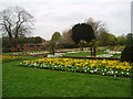
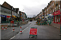
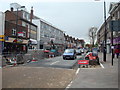
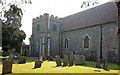
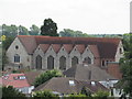
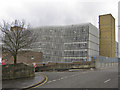
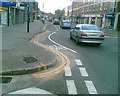
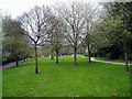
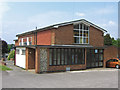
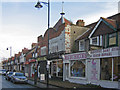
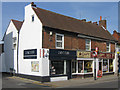
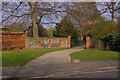
100 photos from this area
Area Information
Key information about the BR6 0QB including its size, population, and administrative classification.
- Area Type
- Postcode
- Area Size
- 1.2 hectares
- Population
- 1617
- Population Density
- 4380 people/km²
House Prices in BR6 0QB
28
Properties
£353,666
Average Sold Price
£119,500
Lowest Price
£710,500
Highest Price
Showing 28 properties
| Address | Type | Beds | Baths | Last Sale Price | Last Sale Date | |
|---|---|---|---|---|---|---|
| 45 Bark Hart Road, Orpington, BR6 0QB | Semi-detached | 4 | - | £455,000 | May 2025 | |
| 11A Bark Hart Road, Orpington, BR6 0QB | Semi-detached | 4 | 2 | £655,000 | Mar 2024 | |
| 9 Bark Hart Road, Orpington, BR6 0QB | Detached | 4 | 2 | £660,000 | Feb 2023 | |
| 25 Bark Hart Road, Orpington, BR6 0QB | Semi-detached | 3 | 1 | £710,500 | Jun 2022 | |
| 39 Bark Hart Road, Orpington, BR6 0QB | house | - | - | £518,000 | Sep 2021 | |
| 47 Bark Hart Road, Orpington, BR6 0QB | Semi-detached | 2 | 1 | £402,500 | Jan 2021 | |
| 11 Bark Hart Road, Orpington, BR6 0QB | Semi-detached | 2 | - | £420,000 | Nov 2017 | |
| 43 Bark Hart Road, Orpington, BR6 0QB | Semi-detached | 3 | - | £430,000 | Mar 2016 | |
| 37 Bark Hart Road, Orpington, BR6 0QB | Semi-detached | 3 | - | £375,000 | Feb 2015 | |
| 5 Bark Hart Road, Orpington, BR6 0QB | Semi-detached | 3 | - | £320,000 | Jul 2014 |
Page 1 of 3
Energy Efficiency in BR6 0QB
Amenities
Schools
| Rank | School | Type | Entry gender | Ages |
|---|
Explore more schools in this area
Go to Schools tabDemographics
Household Size
Family (3-5 people)
most common
Accommodation Type
Houses
most common
Tenure
73
majority
Ethnic Group
White
most common
Religion
N/A
most common
Household Composition
N/A
most common
Age
47
median
Adults (30-64 years)
most common
Household Deprivation
N/A
with no deprivation
NS-SEC
37
in Lower managerial occupations
Explore more demographic insights in this area
Go to Demographics tabPlanning
Planning Constraints
- Flood RiskPremium
- Ramsar Wetland SitesPremium
- Area of Outstanding Natural BeautyPremium
- Protected Nature ReservePremium
- Protected WoodlandPremium