Area Overview for BR6 0HA
Photos of BR6 0HA
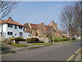
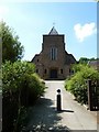
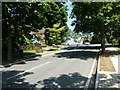
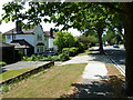
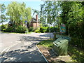
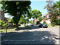
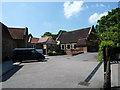
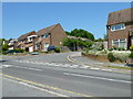
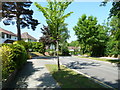
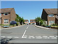
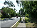
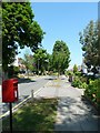
100 photos from this area
Area Information
Key information about the BR6 0HA including its size, population, and administrative classification.
- Area Type
- Postcode
- Area Size
- 1.8 hectares
- Population
- 1632
- Population Density
- 4297 people/km²
House Prices in BR6 0HA
24
Properties
£750,139
Average Sold Price
£192,000
Lowest Price
£1,460,000
Highest Price
Showing 24 properties
| Address | Type | Beds | Baths | Last Sale Price | Last Sale Date | |
|---|---|---|---|---|---|---|
| 12 Irene Road, Orpington, BR6 0HA | Bungalow | 3 | 2 | £975,000 | Nov 2025 | |
| 9 Irene Road, Orpington, BR6 0HA | Detached | 5 | 4 | £1,460,000 | Oct 2023 | |
| Former, 6 Irene Road, Orpington, BR6 0HA | Detached | 4 | 3 | £900,000 | Jun 2023 | |
| 6 Irene Road, Orpington, BR6 0HA | Bungalow | - | - | £900,000 | Jun 2023 | |
| 6A Irene Road, Orpington, BR6 0HA | house | - | - | £1,025,000 | Jan 2023 | |
| 14 Irene Road, Orpington, BR6 0HA | Detached | 3 | 1 | £650,000 | Oct 2020 | |
| 15 Irene Road, Orpington, BR6 0HA | Detached | 4 | 3 | £865,000 | Oct 2020 | |
| 9A Irene Road, Orpington, BR6 0HA | Detached | 6 | 4 | £1,000,000 | Aug 2019 | |
| 1A Irene Road, Orpington, BR6 0HA | Bungalow | 3 | - | £649,950 | Oct 2016 | |
| 11 Irene Road, Orpington, BR6 0HA | Detached | 4 | 3 | £810,000 | Jul 2015 |
Page 1 of 3
Energy Efficiency in BR6 0HA
Amenities
Schools
| Rank | School | Type | Entry gender | Ages |
|---|
Explore more schools in this area
Go to Schools tabDemographics
Household Size
Family (3-5 people)
most common
Accommodation Type
Houses
most common
Tenure
74
majority
Ethnic Group
White
most common
Religion
N/A
most common
Household Composition
N/A
most common
Age
47
median
Adults (30-64 years)
most common
Household Deprivation
N/A
with no deprivation
NS-SEC
51
in Lower managerial occupations
Explore more demographic insights in this area
Go to Demographics tabPlanning
Planning Constraints
- Flood RiskPremium
- Ramsar Wetland SitesPremium
- Area of Outstanding Natural BeautyPremium
- Protected Nature ReservePremium
- Protected WoodlandPremium