Area Overview for BR6 0EG
Photos of BR6 0EG
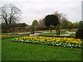
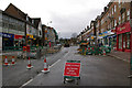
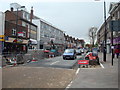
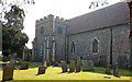
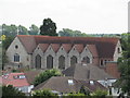
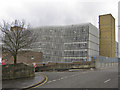
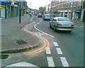
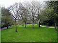
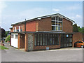
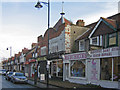
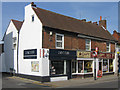
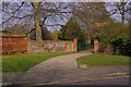
100 photos from this area
Area Information
Key information about the BR6 0EG including its size, population, and administrative classification.
- Area Type
- Postcode
- Area Size
- 1.4 hectares
- Population
- Not available
- Population Density
- Not available
House Prices in BR6 0EG
25
Properties
£380,782
Average Sold Price
£135,000
Lowest Price
£750,000
Highest Price
Showing 25 properties
| Address | Type | Beds | Baths | Last Sale Price | Last Sale Date | |
|---|---|---|---|---|---|---|
| 10 Vinson Close, Orpington, BR6 0EG | Detached | 4 | 2 | £750,000 | Oct 2025 | |
| 74 Vinson Close, Orpington, BR6 0EG | Semi-detached | 3 | 2 | £536,000 | Oct 2020 | |
| 76 Vinson Close, Orpington, BR6 0EG | Semi-detached | 3 | 2 | £520,000 | Jan 2020 | |
| 14 Vinson Close, Orpington, BR6 0EG | Semi-detached | 3 | 1 | £495,000 | Mar 2019 | |
| 72 Vinson Close, Orpington, BR6 0EG | Semi-detached | 3 | - | £425,000 | Feb 2018 | |
| 66 Vinson Close, Orpington, BR6 0EG | Semi-detached | 4 | 1 | £525,000 | May 2016 | |
| 52 Vinson Close, Orpington, BR6 0EG | Semi-detached | 5 | - | £429,000 | Jul 2014 | |
| 58 Vinson Close, Orpington, BR6 0EG | Semi-detached | 4 | - | £398,000 | Mar 2014 | |
| 70 Vinson Close, Orpington, BR6 0EG | Semi-detached | 3 | 1 | £240,000 | Oct 2005 | |
| 78 Vinson Close, Orpington, BR6 0EG | house | - | - | £330,000 | Oct 2005 |
Page 1 of 3
Energy Efficiency in BR6 0EG
Amenities
Schools
| Rank | School | Type | Entry gender | Ages |
|---|
Explore more schools in this area
Go to Schools tabDemographics
Household Size
One person
most common
Accommodation Type
Flats
most common
Tenure
56
majority
Ethnic Group
White
most common
Religion
N/A
most common
Household Composition
N/A
most common
Age
47
median
Adults (30-64 years)
most common
Household Deprivation
N/A
with no deprivation
NS-SEC
49
in Lower managerial occupations
Explore more demographic insights in this area
Go to Demographics tabPlanning
Planning Constraints
- Flood RiskPremium
- Ramsar Wetland SitesPremium
- Area of Outstanding Natural BeautyPremium
- Protected Nature ReservePremium
- Protected WoodlandPremium