Area Overview for BR5 4LL
Photos of BR5 4LL
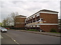
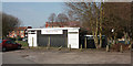
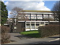
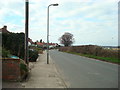
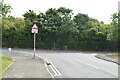
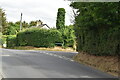
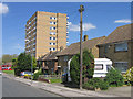
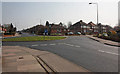
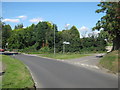
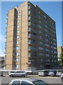
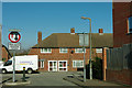
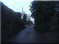
62 photos from this area
Area Information
Key information about the BR5 4LL including its size, population, and administrative classification.
- Area Type
- Postcode
- Area Size
- 3.2 hectares
- Population
- 1482
- Population Density
- 4344 people/km²
House Prices in BR5 4LL
35
Properties
£287,050
Average Sold Price
£92,500
Lowest Price
£432,500
Highest Price
Showing 35 properties
| Address | Type | Beds | Baths | Last Sale Price | Last Sale Date | |
|---|---|---|---|---|---|---|
| 23 Brow Crescent, Orpington, BR5 4LL | Semi-detached | 2 | 1 | £352,000 | Apr 2024 | |
| 55 Brow Crescent, Orpington, BR5 4LL | Semi-detached | 3 | 1 | £425,000 | Mar 2022 | |
| 43 Brow Crescent, Orpington, BR5 4LL | Semi-detached | 2 | 1 | £432,500 | Jun 2021 | |
| 47 Brow Crescent, Orpington, BR5 4LL | Semi-detached | 2 | 1 | £242,000 | Aug 2019 | |
| 45 Brow Crescent, Orpington, BR5 4LL | Semi-detached | 2 | 1 | £327,500 | Nov 2017 | |
| 1 Brow Crescent, Orpington, BR5 4LL | Terraced | 3 | 2 | £318,000 | Aug 2017 | |
| 53 Brow Crescent, Orpington, BR5 4LL | Semi-detached | 2 | - | £265,000 | Aug 2015 | |
| 59 Brow Crescent, Orpington, BR5 4LL | Semi-detached | 3 | 1 | £290,000 | Jul 2015 | |
| 15 Brow Crescent, Orpington, BR5 4LL | house | - | - | £126,000 | Apr 2001 | |
| 17 Brow Crescent, Orpington, BR5 4LL | Semi-detached | - | - | £92,500 | Mar 1999 |
Page 1 of 4
Energy Efficiency in BR5 4LL
Amenities
Schools
| Rank | School | Type | Entry gender | Ages |
|---|
Explore more schools in this area
Go to Schools tabDemographics
Household Size
Two person
most common
Accommodation Type
Houses
most common
Tenure
75
majority
Ethnic Group
White
most common
Religion
N/A
most common
Household Composition
N/A
most common
Age
47
median
Adults (30-64 years)
most common
Household Deprivation
N/A
with no deprivation
NS-SEC
32
in Lower managerial occupations
Explore more demographic insights in this area
Go to Demographics tabPlanning
Planning Constraints
- Flood RiskPremium
- Ramsar Wetland SitesPremium
- Area of Outstanding Natural BeautyPremium
- Protected Nature ReservePremium
- Protected WoodlandPremium