Area Overview for BR5 3BG
Photos of BR5 3BG
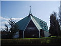
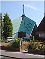
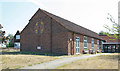
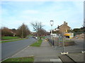
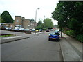
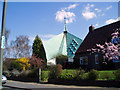
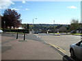
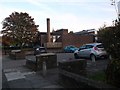
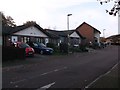
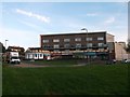
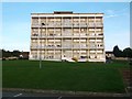
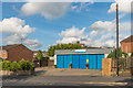
47 photos from this area
Area Information
Key information about the BR5 3BG including its size, population, and administrative classification.
- Area Type
- Postcode
- Area Size
- 1.5 hectares
- Population
- Not available
- Population Density
- Not available
House Prices in BR5 3BG
38
Properties
£204,497
Average Sold Price
£55,000
Lowest Price
£475,000
Highest Price
Showing 38 properties
| Address | Type | Beds | Baths | Last Sale Price | Last Sale Date | |
|---|---|---|---|---|---|---|
| 17 Horsell Road, Orpington, BR5 3BG | Terraced | 3 | 1 | £475,000 | Mar 2025 | |
| 39 Horsell Road, Orpington, BR5 3BG | Flat | 1 | 1 | £210,000 | Dec 2020 | |
| 53 Horsell Road, Orpington, BR5 3BG | Flat | - | - | £160,000 | Jul 2019 | |
| 43 Horsell Road, Orpington, BR5 3BG | Flat | - | - | £185,000 | Dec 2018 | |
| 35 Horsell Road, Orpington, BR5 3BG | house | 2 | - | £261,000 | Sep 2015 | |
| 3 Horsell Road, Orpington, BR5 3BG | Semi-detached | 2 | - | £235,000 | Aug 2014 | |
| 27 Horsell Road, Orpington, BR5 3BG | Semi-detached | 2 | - | £210,000 | Apr 2014 | |
| 5 Horsell Road, Orpington, BR5 3BG | Terraced | 2 | 1 | £204,000 | Feb 2014 | |
| 41 Horsell Road, Orpington, BR5 3BG | Flat | - | - | £113,000 | Oct 2013 | |
| 33 Horsell Road, Orpington, BR5 3BG | Semi-detached | 3 | 1 | £225,000 | Oct 2013 |
Page 1 of 4
Energy Efficiency in BR5 3BG
Amenities
Schools
| Rank | School | Type | Entry gender | Ages |
|---|
Explore more schools in this area
Go to Schools tabDemographics
Household Size
One person
most common
Accommodation Type
Houses
most common
Tenure
37
majority
Ethnic Group
White
most common
Religion
N/A
most common
Household Composition
N/A
most common
Age
47
median
Adults (30-64 years)
most common
Household Deprivation
N/A
with no deprivation
NS-SEC
27
in Lower managerial occupations
Explore more demographic insights in this area
Go to Demographics tabPlanning
Planning Constraints
- Flood RiskPremium
- Ramsar Wetland SitesPremium
- Area of Outstanding Natural BeautyPremium
- Protected Nature ReservePremium
- Protected WoodlandPremium